





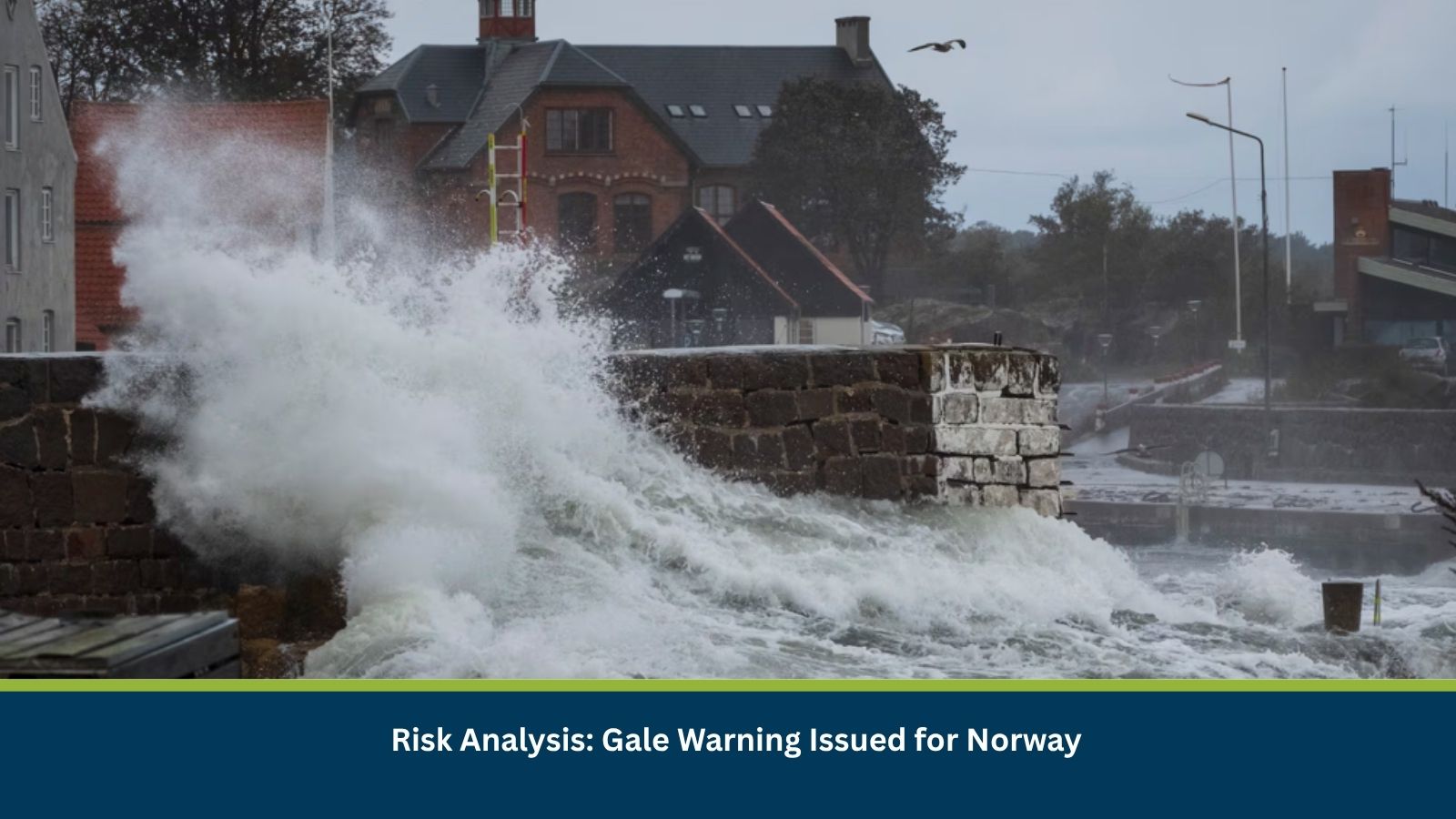
Executive Summary for Gale Conditions in Norway
A gale warning has been issued for parts of Norway from 22 September 2026, with the Norwegian Meteorological Institute providing weather warnings through Yr. Gale conditions can create hazardous conditions for maritime activity and exposed coastal areas, with the potential for travel delays and local infrastructure impacts depending on the affected area.
Norwegian weather warnings use a colour-coded system, with yellow indicating a moderate situation that requires vigilance and orange indicating a serious situation that may cause substantial disruption, including travel delays and road or rail closures.
- Date of Event: 22 September 2026
- Location: Norway
- Risk Category: Environment
- Severity Score: 3/5
- Confidence Level: 80%
What is Risk Analysis in the Context of Gale Conditions
Gale-risk analysis assesses the potential effects of strong winds on maritime transportation, road and rail travel, coastal infrastructure and outdoor operations. Exposure is generally greater in coastal and open areas, where wind speeds can be stronger and sea conditions can deteriorate rapidly.
Known Hotspots and Sensitive Areas
High Impact
- Exposed coastal and maritime areas: Strong winds may create hazardous conditions for vessels and coastal operations.
- Norwegian waters covered by the active warning: Maritime operators may face increased operational restrictions.
Medium Impact
- Coastal roads and bridges: Strong crosswinds can affect high-profile vehicles and exposed transport infrastructure.
- Ferry routes: Wind and sea conditions may result in delays or temporary cancellations where operational thresholds are exceeded.
Low Impact
- Sheltered inland areas: Generally lower direct exposure compared with open coastal and maritime locations, although strong winds may still produce localised effects.
Impact on Transportation and Services
Gale conditions can cause delays to maritime transport and potentially affect road and rail services, depending on the strength and location of the winds. Yr notes that weather warnings can result in traffic delays and, at higher warning levels, road or rail closures and power disruption.
For maritime operators, Norway’s Norwegian Coastal Administration identifies specific exposed marine areas where gale conditions can present particular navigational risks, including Stadt, Hustadvika, Folda, Fugløykalven, Sørøya and Honningsvåg.
Recommended Actions
- Monitor Yr and Norwegian Meteorological Institute warnings before travelling.
- Check ferry and other maritime services before departure.
- Avoid unnecessary maritime activity during periods of severe wind and wave conditions.
- Operators of high-profile vehicles should exercise additional caution on exposed roads and bridges.
- Businesses operating along the coast should secure temporary structures and outdoor equipment.
- Follow local authority and emergency-service instructions if warning levels escalate.
Emergency Contacts
- Emergency Services: 112
- Police: 112
- Fire and Rescue: 110
- Medical Emergency: 113
Final Thoughts
The gale warning represents a moderate environmental risk, with the greatest potential exposure concentrated in coastal and maritime areas. The principal business and travel concerns are possible ferry disruption, hazardous marine conditions and delays on exposed transport routes, with the scale of impact dependent on the location and severity of the winds. Leveraging MitKat’s Datasurfr enables businesses to receive real-time intelligence, monitor evolving threats and make informed decisions to protect people, assets and operations.