





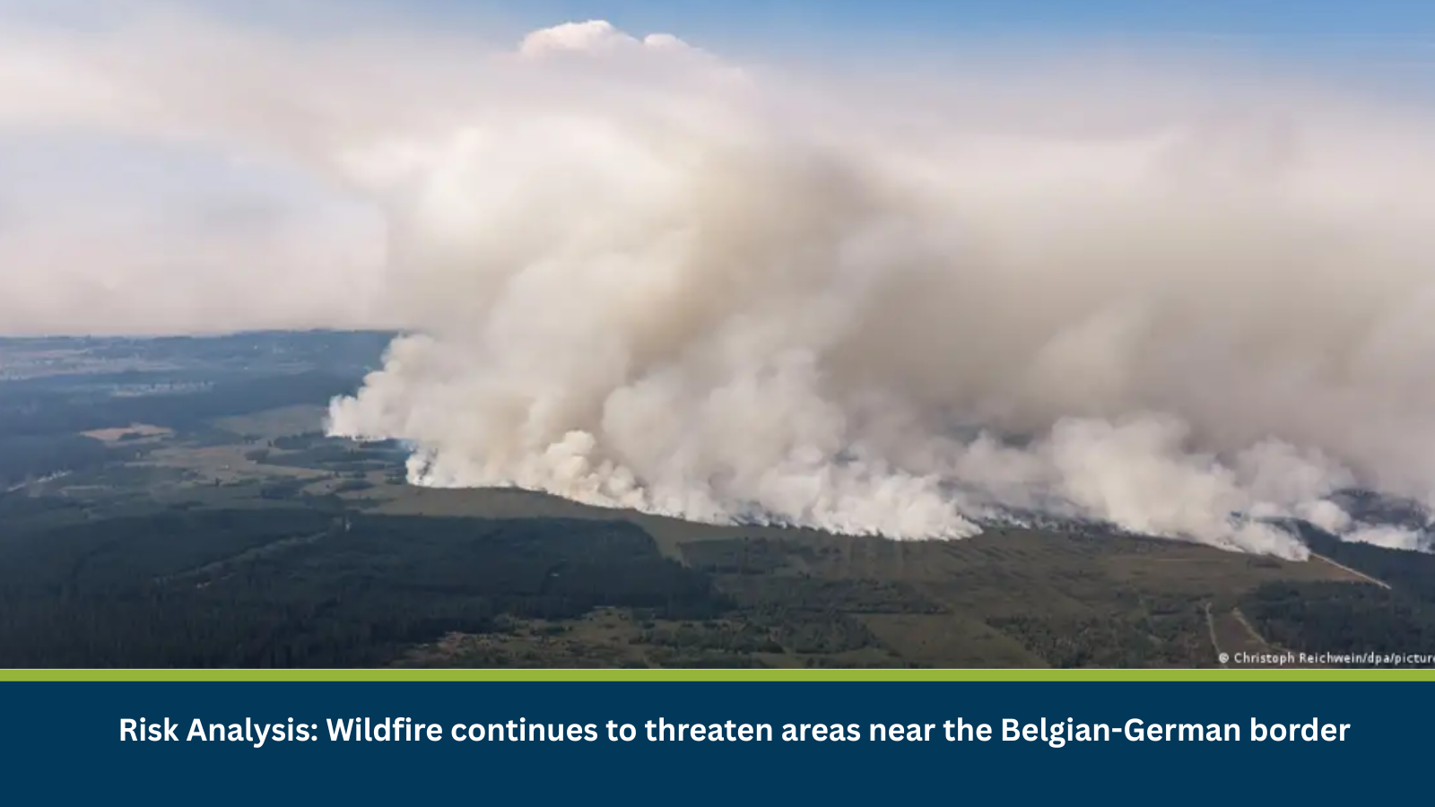
Executive Summary for Wildfires Near the Belgium-German Border
Belgium is battling the largest wildfire in its recorded history, which has burned more than 2,700 hectares of the High Fens nature reserve in Liège province and advanced to within a few kilometres of the German border. Around 600 residents in the municipalities of Waimes, Sourbrodt and Bütgenbach were ordered to evacuate as shifting winds pushed heavy smoke toward homes, and tourists were also advised to leave the area. More than 250 emergency personnel, including firefighters from Belgium, Germany, Luxembourg and the Netherlands, have been deployed, with the European Union sending helicopters and water-bombing aircraft to help bring the blaze under control. The fire follows weeks of extreme heat and dry conditions across Belgium, with temperatures reaching 37 degrees Celsius shortly before the fire broke out.
- Date of Event: 17 August 2026
- Location: High Fens nature reserve, Liège province, Belgium, near the German border
- Risk Category: Natural Disaster
- Severity Score: 4/5
- Confidence Level: 70%
What is Risk Analysis in the Context of Natural Disasters Event
Natural disasters risk analysis assesses the impact of wildfires on public safety, air quality, infrastructure and cross-border emergency response. Fires burning in peatland and heathland terrain, such as the High Fens, are particularly difficult to contain, as smouldering peat can sustain and reignite fires even after visible flames are extinguished.
Known Hotspots and Sensitive Areas
High Impact
- High Fens nature reserve and surrounding forested areas
- Waimes, Sourbrodt and Bütgenbach municipalities under evacuation orders
- Border areas near Monschau, Germany, affected by smoke drift
Medium Impact
- Neighbouring Liège province municipalities supporting evacuees
- Roads used by emergency vehicles and firefighting convoys
- Areas within a few kilometres of the fire perimeter
Low Impact
- Towns and cities further from the High Fens reserve
- Areas outside the smoke-affected zone
Impact on Transportation and Services
The wildfire has disrupted normal activity across the affected municipalities, with residents evacuated to a gymnasium set up as an emergency shelter in a neighbouring town. Heavy smoke has reduced visibility in the area, and authorities have urged people to avoid unnecessary travel near the fire zone, warning that traffic could obstruct emergency vehicles and hamper firefighting operations. Cross-border coordination between Belgian and German emergency services has been activated given the fire’s proximity to the frontier.
Recommended Actions
- Follow evacuation orders issued by local authorities without delay.
- Avoid travel through or near the High Fens fire zone.
- Stay indoors and limit outdoor exposure in areas affected by smoke.
- Monitor official updates from Belgian and German civil protection agencies.
Emergency Contacts
- Emergency Services (Belgium): 112
- Police: 101
Final Thoughts
The High Fens wildfire represents a significant environmental and safety risk for communities on both sides of the Belgian-German border. While officials do not currently expect the flames to cross into Germany, smoke drift and shifting winds remain a concern, and continued monitoring will be essential until the blaze is fully contained. Leveraging MitKat’s Datasurfr enables businesses to receive real-time intelligence, monitor evolving threats and make informed decisions to protect people, assets and operations.