


Historic Landfall in Hokkaido
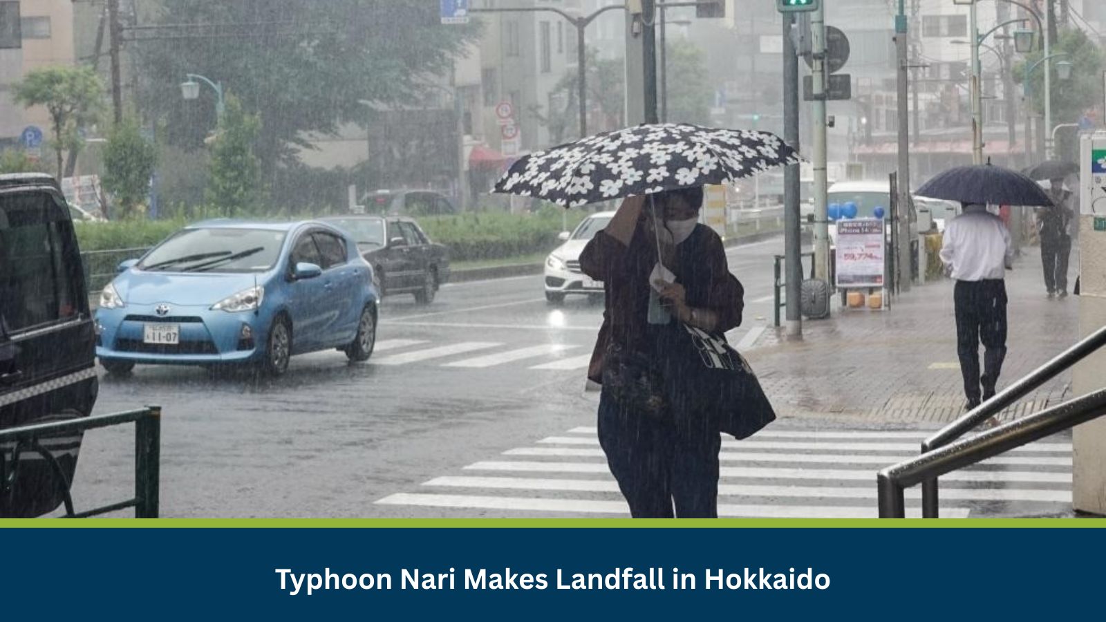
On 15 July 2025, Typhoon Nari made a historic landfall near Cape Erimo, at the southern tip of Hokkaido. The storm developed over the weekend roughly 200 kilometers south of Chichijima Island in the Pacific Ocean. Tracking northward, it moved along Japan’s eastern coastline before hitting Hokkaido, becoming the fifth typhoon to affect Japan this year.
This is the first time since 1951 that a typhoon has struck Hokkaido in July, a rare occurrence that has prompted widespread concern. The Japan Meteorological Agency (JMA) issued alerts for strong winds and high waves across northern Japan. As of 16 July, no casualties or major injuries have been reported.
Changing Weather Patterns Linked to Climate Shifts
The JMA explained that Typhoon Nari’s early formation and intensity were fueled by unstable atmospheric conditions. Low pressure over the Sea of Japan and warm, moist air from the south created ideal conditions for the storm’s development. Experts point to climate change as a key factor, with warmer seas now contributing to earlier and more severe typhoons.
Severe Weather Disrupts Daily Life
Ahead of landfall, the JMA warned of potential landslides, lightning strikes, and flooding from rapidly rising rivers. Heavy rains impacted multiple regions on 14 July. Ino Town in Kochi Prefecture recorded 52 mm of rainfall, while Tamana City in Kumamoto logged 32 mm. Forecasts predicted continued rainfall through 15 July, with up to 200 mm expected in the Kanto-Koshin region, 120 mm in Hokkaido, and 80 mm in Tohoku.
Winds also posed serious threats. A maximum wind speed of 24.3 meters per second was observed in Kushiro City. Although Tokyo was not directly hit, the typhoon passed close enough to bring rain and gusty winds that disrupted train schedules and ferry services.
Storm Weakens but Risks Persist
By 0900 local time on 15 July, Typhoon Nari had moved into the Sea of Okhotsk and weakened into an extratropical system. Nevertheless, the JMA continued to warn of hazardous weather conditions across eastern and northern Japan. Continued rainfall could result in localized flooding, landslides, and damage to power and communication infrastructure.
Outlook
While the storm has weakened, its aftereffects will linger. Authorities are closely monitoring the situation as heavy rain, high winds, and rough seas could continue through 16 July. Travel disruptions may persist depending on local conditions. Organizations are advised to stay updated on weather alerts and have contingency plans in place.
Partner with MitKat
MitKat helps organisations navigate uncertain times by providing comprehensive insights about the evolving risk landscape. We offer various services including Risk consulting and Security Design, Protective Services, and cyber security services which ensure organisations become Risk Intelligent. Our AI-powered operational risk monitoring tool, datasurfr combined with expert insight enables companies to stay abreast of evolving operational risks and emerging developments.
… [Trackback]
[…] Read More on on that Topic: mitkatadvisory.com/typhoon-nari-makes-landfall-in-hokkaido-japan/ […]
… [Trackback]
[…] There you will find 76115 more Information on that Topic: mitkatadvisory.com/typhoon-nari-makes-landfall-in-hokkaido-japan/ […]
… [Trackback]
[…] Read More on that Topic: mitkatadvisory.com/typhoon-nari-makes-landfall-in-hokkaido-japan/ […]
… [Trackback]
[…] Read More to that Topic: mitkatadvisory.com/typhoon-nari-makes-landfall-in-hokkaido-japan/ […]