


What is Risk Analysis in the Context of Natural Disasters
Risk analysis concerning natural disasters in the Philippines involves assessing the high probability of a tropical cyclone causing catastrophic damage. Historically, the Philippines experiences an average of 20 tropical cyclones annually, necessitating perennial vigilance. Events like Tropical Storm Washi (Sendong) and Ketsana (Ondoy) underscore that even storms of moderate intensity can cause devastating floods, landslides, and significant loss of life. For Tropical Storm Opong, the analysis is crucial as it involves an elevated risk: the potential combination of heavy rainfall and volcanic debris, threatening to trigger a dangerous lahar flow from Mayon Volcano, compounding the threat to critical infrastructure and human life.
Executive Summary
- Date of Incident: 26 September 2025
- Location: Eastern Visayas, Bicol Region, and various provinces
- Risk Category: Natural Disasters
- Severity Score: 4/5
- Confidence Level: 90%
Tropical Storm Opong, currently impacting the Philippines, is projected to sustain its trajectory and intensity over the next three to five days, primarily affecting the Eastern Visayas and Bicol regions. Given historical precedents and current intensification, significant disruption to infrastructure, business operations, and public safety is highly probable. The likely duration window for direct, severe impact is estimated at two to three days for any given locality in its path, with cascading effects potentially extending for one to two weeks. The severity score is assessed at four out of five, reflecting the high potential for casualties and extensive infrastructure damage, particularly with the specific threat of a possible lahar flow from Mayon Volcano in Albay province.
Current Updates
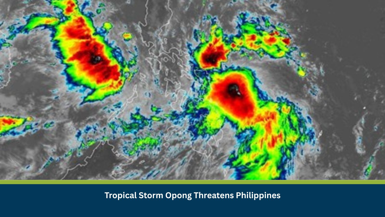
As of Friday, 26 September, Tropical Storm Opong is maintaining its strength, with sustained winds of approximately 75 km/h and gustiness up to 90 km/h, tracking west-northwest at 20 km/h. Heavy to intense rainfall is expected over Eastern Visayas, Bicol Region, and parts of Southern Luzon in the next 24–48 hours. Tropical Cyclone Wind Signal No. two is in effect for coastal areas in Eastern Samar, Leyte, and Albay. Residents are warned against widespread flooding and rain-induced landslides, with a particular alert for possible lahar flows around Mayon Volcano.
Known Hotspots and Sensitive Areas
Areas highly sensitive to the impacts of Tropical Storm Opong include the coastal communities in Eastern Samar (e.g., Guiuan, Balangiga), low-lying areas in Leyte (e.g., Tacloban City), and the volcanic foothills and river channels surrounding Mayon Volcano in Albay (e.g., Legazpi City, Daraga). These zones are prone to storm surges, widespread flooding, and dangerous lahar flows, respectively, justifying a high impact rating. Major sections of the Maharlika Highway (AH26), a key logistical artery, are also highly susceptible to closures due to landslides and debris.
Impact on Transportation and Services
The storm poses a severe threat to travel and mobility (Severity 5). Widespread cancellations and delays are certain across air, sea, and land transport. Air travel at airports in Tacloban and Legazpi is likely to be grounded, and sea transport will be suspended across affected regions. Land transport will be severely curtailed by extensive road closures on major routes like the Maharlika Highway due to flooding and landslides. Simultaneously, a high probability exists for widespread damage to the power grids, water supply systems, and communication towers, leading to prolonged service interruptions across Eastern Visayas and Bicol.
Recommended Actions
- Workforce & Safety: Activate comprehensive work-from-home protocols for non-essential personnel and establish redundant communication channels (e.g., satellite phones) for all employees. Mandate shelter-in-place for critical on-site teams with pre-positioned emergency kits.
- Asset Security: Secure all physical assets and critical infrastructure at operational sites, including elevating sensitive equipment from flood zones and deploying sandbags. Implement a strict asset lockdown protocol and enhance security patrols.
- Supply Chain Diversification: Diversify and pre-position inventory for critical inputs and finished goods across different geographic zones to mitigate supply chain disruption from port closures and road damage.
- Communication: Establish a centralized crisis communication hub to disseminate regular, transparent updates to all stakeholders via multiple, resilient channels (e.g., dedicated emergency website, SMS alerts).
- IT Resilience: Implement robust off-site data backup and recovery procedures, ensuring all critical business systems are mirrored in geographically diverse data centres. Conduct daily tests of backup power generators.
Emergency Contacts
- Police/Fire/Ambulance/National Emergency: 911 (Primary), 117 (Alternate)
- PAGASA DOST: (02) 8284-0800
- NDRRMC (National Disaster Risk Reduction and Management Council): (02) 8911-5061 to 65
- Department of Social Welfare and Development (DSWD): (02) 8931-8101
Final Thoughts
Tropical Storm Opong presents a severe and multi-faceted Natural Disaster threat, compounded by the specific risk of lahar flows from Mayon Volcano. The high probability of infrastructure and supply chain disruption necessitates that businesses move beyond reactive measures. The risk trajectory indicates prolonged cascading effects for up to two weeks in severely affected areas. Strategic takeaway for policymakers and businesses is the critical need for regional preparedness tools and early warning systems like PAGASA’s, combined with robust contingency plans to safeguard both personnel and business operations. Stay ahead of operational risks with real-time alerts, scenario modeling, and expert advisories with datasurfr’s Predict. Start your 14-day free trial of Datasurfr’s Risk Intelligence Platform today.