


Executive Summary for the Thunderstorms Across South Afirca
A multi-day severe thunderstorm outbreak is expected through 23 February, with the highest impact window over the next 24–72 hours. Anticipated hazards include heavy rainfall, flash flooding, damaging winds, large hail and frequent lightning. Severity is assessed as moderate-to-severe due to potential infrastructure damage, travel disruption and power outages. Localized business interruptions of six–48 hours are likely, with longer recovery periods where infrastructure is significantly affected.
- Date of Event: 23 February
- Location: North West, Free State, Northern Cape, Eastern Cape, Mpumalanga, Limpopo, Gauteng, South Africa
- Risk Category: Environment
- Severity Score: 4 / 5
- Confidence Level: 78 %
What is Risk Analysis in the Context of Environment Events
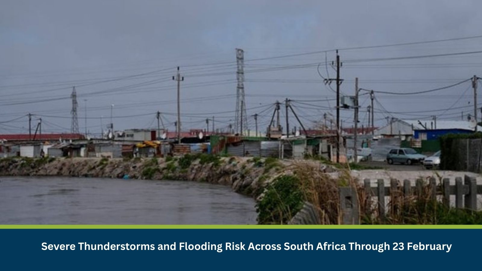
Environmental risk analysis assesses threats arising from severe weather, flooding and climate-driven hazards that impact infrastructure, public safety and economic activity. In South Africa, late-summer convective systems frequently generate intense rainfall, flash flooding and wind damage, particularly where soils are saturated. The current multi-day thunderstorm outbreak aligns with historical February–April seasonal patterns that have previously caused road closures, power outages and localized infrastructure damage. Monitoring severe weather risk is essential to mitigate operational disruption and safeguard personnel and assets.
Known Hotspots and Sensitive Areas
High Impact:
- eThekwini (Durban) flood-prone suburbs
- Mangaung (Bloemfontein) low-lying districts
- Gauteng informal settlements and Vaal River tributaries
Medium Impact:
- N3 corridor (Durban–Pietermaritzburg–Gauteng freight route)
- N1 between Johannesburg and Bloemfontein
- Mgeni River basin catchment areas
Low Impact:
- Elevated inland districts with lower flood exposure
Seasonal recurrence of severe thunderstorms during late summer increases the likelihood of flash flooding and stormwater system overloads in urban centers.
Impact on Transportation and Services
Heavy rainfall may trigger temporary road closures on the N1, N2 and N3 corridors, with reduced visibility and debris accumulation. Freight movements between Durban port and inland metros are particularly vulnerable to delays. Commuter rail services may face intermittent suspensions, while regional airports could experience lightning-related ground delays. Power outages from fallen trees and wind damage are likely, potentially affecting telecommunications and digital services. Businesses may encounter restricted site access, workforce absenteeism and short-term supply chain disruption.
Recommended Actions
Immediate Actions:
- Activate severe weather response protocols and staff safety check-ins.
- Suspend high-risk outdoor operations and non-essential travel.
- Elevate critical equipment and deploy flood barriers at vulnerable sites.
- Back up operational data and test standby generators.
Strategic Measures:
- Coordinate with the South African Weather Service and municipal disaster management centres for real-time alerts.
- Pre-identify alternate logistics routes and contingency warehouses.
- Review infrastructure resilience, including drainage and roof integrity, ahead of peak storm season.
Multidimensional Impact
Prolonged flooding or infrastructure damage may strain municipal emergency services and delay unrelated incident response. Temporary community displacement in severely affected suburbs could increase demand for relief coordination.
Emergency Contacts
- Emergency Services:112
- Disaster Management Centre: ndmc.gov.za/
- South African Weather Service: weathersa.co.za/
Final Thoughts
The severe weather system presents a moderate-to-severe environmental risk through 23 February, particularly for flood-prone urban and freight corridors. While most impacts are expected to be localized and temporary, infrastructure damage could extend recovery timelines. Businesses should prioritize personnel safety, supply chain resilience and proactive monitoring. Early warning platforms and situational intelligence tools such as MitKat’s Datasurfr enhance preparedness and rapid response during severe weather and flooding events.
Stay ahead of operational risks with real-time alerts, scenario modelling, and expert advisories with datasurfr’s Predict. Start your 14-day free trial of Datasurfr’s Risk Intelligence Platform today.