


What is Risk Analysis in the Context of Natural-Disaster Events
Natural-disaster risk analysis evaluates how cyclones, earthquakes, floods, or other extreme weather events affect human safety, infrastructure, and operational continuity.
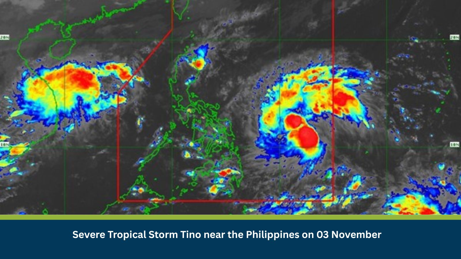
The Philippines, located within the Western Pacific typhoon belt, routinely experiences 15–20 tropical storms each year. Historical events such as Typhoon Opong and Tropical Storm Carina have caused severe flooding, infrastructure collapse, and long-term displacement across Visayas and Mindanao. Severe Tropical Storm Tino continues this pattern, combining intense rainfall and strong winds that threaten coastal, agricultural, and urban regions. Its track near densely populated provinces increases humanitarian and business-continuity risks.
Executive Summary
- Date of Event: 03 November 2025
- Location: Philippines (Visayas, Mindanao, Southern Luzon, Metro Manila)
- Risk Category: Natural Disaster
- Severity Score: 4 / 5
- Confidence Level: 90 %
Severe Tropical Storm Tino has intensified near the Philippine archipelago, bringing heavy rainfall, destructive winds, and coastal flooding. PAGASA forecasts worsening conditions within 24–48 hours as the system nears or crosses land. High-risk provinces include Eastern Samar, Leyte, Masbate, Bicol, and Aurora, with alerts extending to Metro Manila. Expected duration: three to five days. Disruption levels are comparable to past high-impact storms major transport paralysis, intermittent power and communication outages, and operational suspension in low-lying industrial and port areas.
Known Hotspots and Sensitive Areas
- High Impact: Eastern Samar (Guiuan, Balangiga), Leyte (Abuyog), Masbate Province, Bicol Region, Aurora Coastline.
- Medium Impact: Metro Manila (low-lying districts), Cebu City, Bataan, Ilocos Norte.
- Low Impact: Western Mindanao and Northern Luzon (inland zones).
These provinces are vulnerable to flash floods, storm surge, and landslides, particularly along river basins and volcanic slopes such as Mayon and Bulusan.
Impact on Transportation and Services
- Roads: Maharlika Highway sections in Samar and Leyte expected to close due to flooding and debris.
- Air and Sea Travel: Flight and ferry suspensions likely across Visayas corridors (Tacloban, Cebu, Masbate).
- Power and Water: Widespread outages anticipated from downed lines and flooded pumping stations.
- Telecommunications: Possible service interruptions affecting mobile networks and internet connectivity.
- Business Operations: Temporary closures for offices and retail centres in affected zones; logistics delays for inter-island transport.
Recommended Actions
- Employee Safety: Suspend non-essential travel and enable remote work for staff in alert areas; conduct regular check-ins.
- Asset Protection: Secure facilities, reinforce roofs, elevate critical equipment, and clear drainage systems.
- Continuity Planning: Back up data to geo-redundant servers and ensure generator fuel availability.
- Supply Chain: Re-route deliveries and pre-position inventory in unaffected regions.
- Information Flow: Monitor real-time advisories from PAGASA, NDRRMC, and local government units; disseminate updates internally every four hours.
Multidimensional Impact
Tino’s path overlaps agricultural and industrial hubs, potentially disrupting food production and exports. Mass power loss could slow relief efforts and digital coordination, while evacuation centres face overcrowding and resource strain.
Secondary risks include lahar flows near Mayon Volcano and environmental contamination from oil and chemical run-off in flooded zones. National and local governments are expected to declare states of calamity in severely impacted provinces, triggering price controls and emergency fund release.
Emergency Contacts
- Police: 911
- Fire: 911
- Ambulance / Health: 911
- Official Gazette of the Republic of the Philippines
- PAGASA (Philippine Atmospheric, Geophysical and Astronomical Services Administration)
- National Disaster Risk Reduction and Management Council (NDRRMC)
Final Thoughts
Severe Tropical Storm Tino presents a major natural-disaster risk for the Philippines through 03–07 November. The event is expected to generate significant flooding, power disruptions, and supply-chain delays, particularly in Eastern Visayas and Bicol. Organizations should maintain continuous monitoring, execute pre-disaster protocols, and align with local authorities for post-storm recovery and aid mobilization.
Early preparedness and communication remain the most effective defences against severe weather-related operational risk.
Stay ahead of operational risks with real-time alerts, scenario modeling, and expert advisories with datasurfr’s Predict. Start your 14-day free trial of Datasurfr’s Risk Intelligence Platform today.