





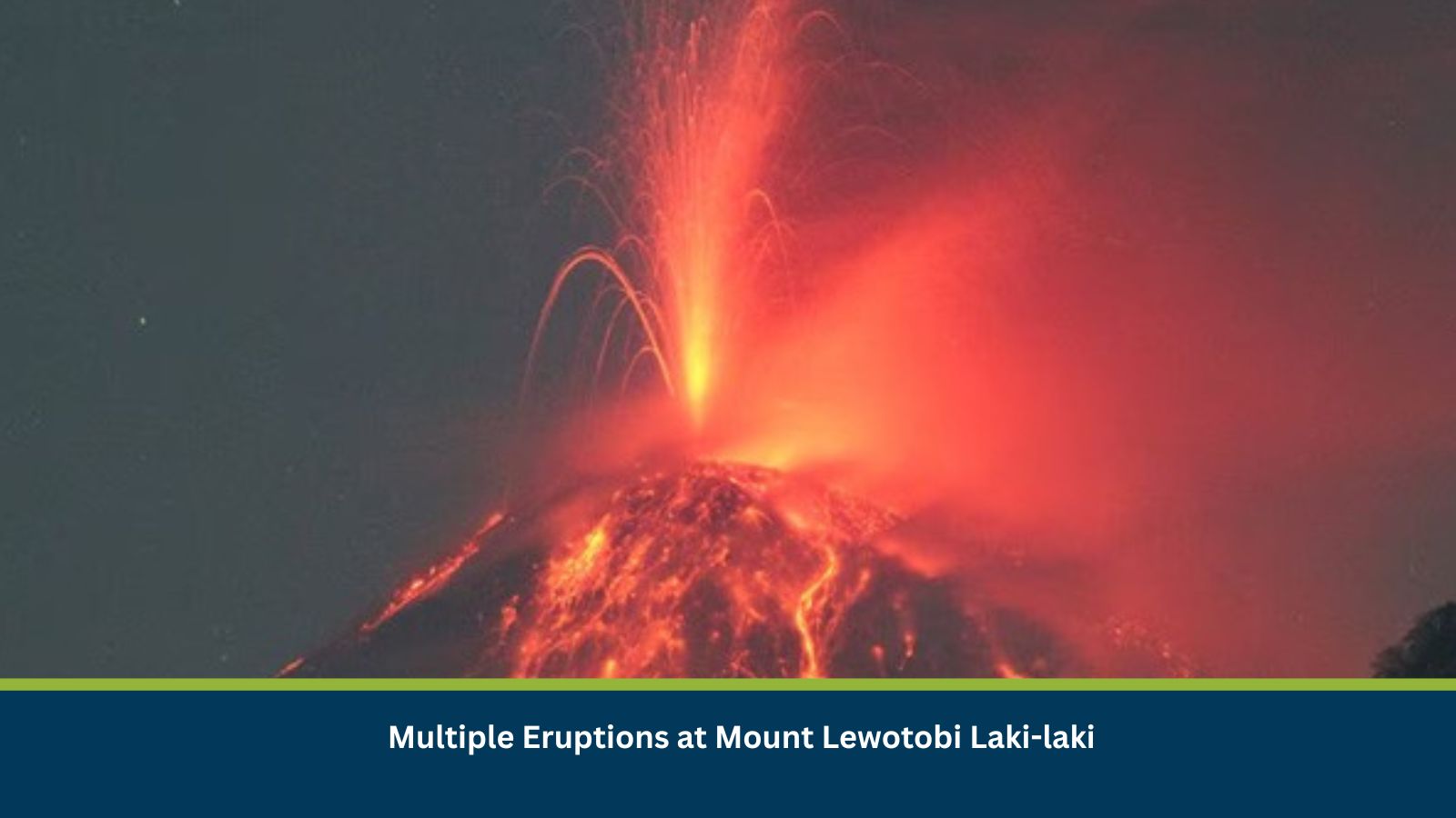
Executive Summary for Mount Lewotobi Laki-laki Eruptions
Mount Lewotobi Laki-laki in East Flores, Indonesia, erupted multiple times on 06 July, prompting authorities to maintain strict exclusion zones and prohibit public activities within designated high-risk areas surrounding the volcano. Volcanic ash emissions, the risk of pyroclastic flows, and potential lahar (volcanic mudflow) hazards continue to threaten nearby communities, transportation and regional aviation. Authorities have advised residents and travellers to remain vigilant as further eruptive activity remains possible.
- Date of Event: 06 July 2026
- Location: Mount Lewotobi Laki-laki, East Flores, East Nusa Tenggara, Indonesia
- Risk Category: Natural Hazards
- Severity Score: 3 / 5
- Confidence Level: 78%
What is Risk Analysis in the Context of Natural Disaster Events
Natural Disaster event risk analysis assesses the impact of extreme weather on public safety, transportation, aviation, critical infrastructure, business operations and surrounding communities. Active eruptions can produce volcanic ash, pyroclastic flows, lava, toxic gases and secondary hazards such as lahars, disrupting regional mobility and essential services.
Mount Lewotobi Laki-laki remains under Indonesia’s second-highest volcanic alert level, with authorities enforcing a five-kilometre exclusion zone around the crater. Repeated eruptions and continued ash emissions have increased the risk to nearby settlements, while heavy rainfall could trigger dangerous volcanic mudflows along surrounding river systems. Aviation authorities continue to closely monitor ash dispersion due to its potential impact on flight safety.
Known Hotspots and Sensitive Areas
High Impact
- Mount Lewotobi Laki-laki crater and the surrounding five km exclusion zone
- Villages surrounding Wulanggitang District
- River channels vulnerable to lahar flows
Medium Impact
- Maumere and the surrounding East Flores region
- Regional airports and air routes affected by volcanic ash
- Local road networks supporting evacuation and emergency response
Low Impact
- Areas outside the designated hazard zones across East Nusa Tenggara Province
Impact on Transportation and Services
Continued volcanic activity may disrupt local transportation, restrict access to affected communities, and impact regional aviation if ash clouds spread into flight paths. Emergency response operations and local economic activity may also be affected by evacuation measures, road restrictions and precautionary closures. Businesses operating in East Flores should anticipate potential disruptions to workforce mobility, logistics and essential services while monitoring official advisories.
Recommended Actions
- Monitor updates issued by Indonesia’s Centre for Volcanology and Geological Hazard Mitigation (PVMBG) and local disaster management authorities.
- Avoid travel within the designated exclusion zone.
- Prepare contingency plans for transportation and supply chain disruptions.
- Advise employees and travelers to follow official evacuation instructions.
- Monitor aviation advisories for potential flight delays or cancellations caused by volcanic ash.
Multidimensional Impact
Sustained volcanic activity may result in prolonged disruption to transportation, tourism, local commerce, and emergency response operations. Heavy rainfall could further increase the risk of lahars, while continued ash emissions may affect regional air travel and public health. Organizations with personnel or operations in East Nusa Tenggara should maintain heightened situational awareness and review business continuity arrangements.
Emergency Contacts
- Emergency Services: 112
- Indonesia National Disaster Management Agency (BNPB): 117
Final Thoughts
The ongoing eruptions at Mount Lewotobi Laki-laki represent a significant operational and travel risk for East Flores. Organizations should continue monitoring official volcanic activity updates, prioritize employee safety, and implement contingency measures to minimize disruption to operations and travel. Leveraging MitKat’s Datasurfr Platform enables businesses to receive real-time alerts, monitor evolving volcanic hazards and make informed decisions to safeguard their people, assets and operations during natural hazard events.