


Executive Summary for the Forest Fire Risk Alert in Spain
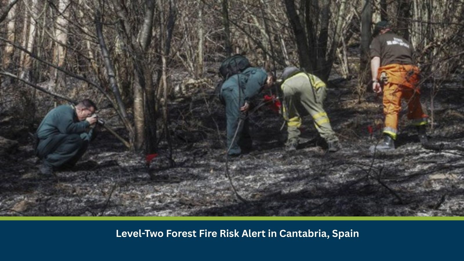
Authorities in Cantabria have issued a level-two forest fire risk alert due to a combination of dry vegetation, warm temperatures, and gusty winds. The risk is assessed as moderate, with potential for isolated fire outbreaks over the next three to seven days. While no major wildfires have been reported, preventative measures, including burn bans and increased surveillance, are in place. Businesses and residents in forest-adjacent areas should prepare for temporary restrictions, localized disruptions, and potential escalation if weather conditions persist.
- Date of Event: 18 March
- Location: Cantabria, Spain
- Risk Category: Environment
- Severity Score: 3 / 5
- Confidence Level: 70 %
What is Risk Analysis in the Context of Environment Events
Risk analysis in environmental events focuses on assessing natural hazards such as wildfires, storms, and extreme weather conditions that threaten human safety, ecosystems, and infrastructure. In this scenario, the forest fire risk alert reflects heightened wildfire risk conditions driven by climatic factors—dry fuel, rising temperatures, and wind patterns. Such conditions are known to increase ignition probability and fire spread. Historically, northern regions of Spain, including Cantabria, experience seasonal wildfire risk spikes during transitional weather periods. While most incidents remain localized, wind-driven fires have occasionally escalated, affecting rural communities and transport routes.
Known Hotspots and Sensitive Areas
High Impact:
- Saja-Besaya Natural Park and Cabuérniga valley forests
- Peri-urban woodlands near Santander
- Rural-forest interface zones
Medium Impact:
- Transport corridors near wooded slopes, including A-8 and N-611
- Municipal areas surrounding Torrelavega and Reinosa
Low Impact:
- Urban centres with limited forest exposure
These areas have shown recurring vulnerability to seasonal wildfire risks, particularly during dry and windy conditions.
Impact on Transportation and Services
Wildfire risk may lead to temporary road closures or controlled traffic movement, especially along forest-adjacent routes such as A-8 and regional CA roads. Public transport services in rural areas may face short-term suspensions or rerouting. Business operations, particularly in forestry, construction, and tourism sectors, may experience disruptions due to safety restrictions. Additionally, smoke and fire proximity could affect air quality, visibility, and localized utility services, including power and telecommunications in rural zones.
Recommended Actions
Immediate Measures:
- Comply with fire safety regulations and avoid ignition sources.
- Enable remote work for employees in high-risk zones.
- Secure flammable materials and review evacuation procedures.
- Monitor updates from regional authorities and emergency services.
Strategic Measures:
- Strengthen wildfire preparedness and response plans.
- Conduct risk assessments for assets near forested areas.
- Coordinate with agencies such as civil protection authorities and meteorological services.
Multidimensional Impact
Ongoing infrastructure works and public events may face rescheduling or operational adjustments due to access restrictions or safety concerns. Increased emergency response activity could also strain local resources.
Emergency Contacts
- Emergency Number: 112
- Spanish Meteorological Agency (AEMET): aemet.es/en/portada
Final Thoughts
The level-two alert indicates a moderate but manageable wildfire risk, with the highest concern cantered on localized ignition and short-term spread. The situation remains dynamic and dependent on weather conditions over the coming days. Businesses and authorities should prioritize proactive monitoring, preparedness, and rapid response mechanisms.
Stay ahead of operational risks with real-time alerts, scenario modeling, and expert advisories with datasurfr’s Predict. Start your 14-day free trial of Datasurfr’s Risk Intelligence Platform today.