


What is Risk Analysis in the Context of Natural Disaster Events
Natural disaster risk analysis evaluates how weather-related hazards such as cyclones, floods, and storms affect human safety, infrastructure, and economic continuity. In the Indian context, states like West Bengal, with high rainfall variability and fragile hilly terrain, remain particularly vulnerable to monsoon-related disruptions. Continuous monitoring of meteorological data, hydrological conditions, and historical damage patterns allows authorities and businesses to anticipate the scale of disruption and respond proactively.
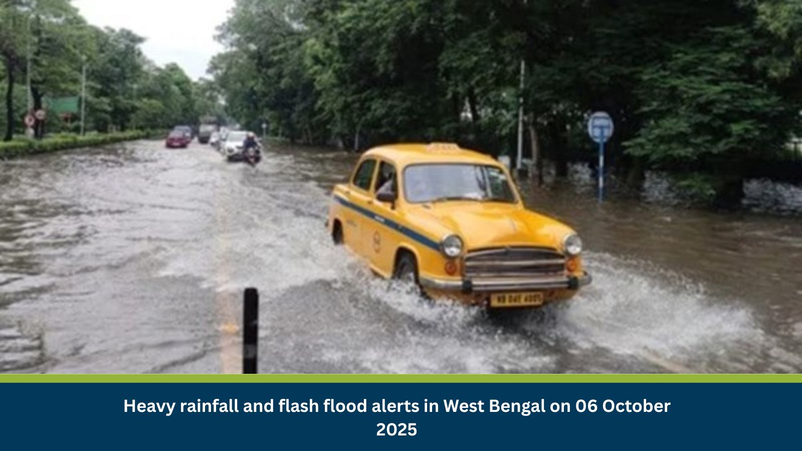
Executive Summary
- Date of Incident: 06 October 2025
- Location: Kolkata, West Bengal, India
- Risk Category: Natural Disasters
- Severity Score: 4/5
- Confidence Level: 85%
The India Meteorological Department (IMD) has issued active warnings indicating heavy rainfall and storms across North Bengal districts, including Alipurduar, Coochbehar, and Jalpaiguri. Based on historical data, similar events have caused road closures (notably NH10), rail service suspensions, power outages, and flash floods. The anticipated impact window spans 24–72 hours, with lingering effects possible over the following week. Given the frequency and intensity of past monsoon events, this system warrants close vigilance and immediate preparedness across both public and private sectors.
Current Updates
IMD advisories for 06 October flag heightened rainfall and thunderstorm activity in North Bengal. The weather pattern mirrors earlier October systems that produced severe flooding and wind damage in the Dooars and Himalayan foothill regions. Localized flash floods, overflowing rivers, and power disruptions are probable in districts like Alipurduar, Coochbehar, and Jalpaiguri. Authorities may escalate warnings from yellow to orange if rainfall intensity rises or river levels breach danger marks.
Known Hotspots and Sensitive Areas
- High-impact zones: Alipurduar, Falakata, Jaldapara, and Mechhliganj (Coochbehar) along the Teesta and Mujnai rivers.
- Medium-impact zones: Dooars corridor, Madarihat, and Birpara where NH10 is vulnerable to landslides.
- Low-impact zones: Southern districts including Kolkata and Howrah; likely to see isolated showers but limited flooding.
Impact on Transportation and Services
Road travel through North Bengal- especially NH10 and state highways connecting Siliguri to Sikkim is at high risk of closure due to landslides and inundation. Railway services on the Dooars route may be suspended, while local bus operations in low-lying areas (Madarihat, Falakata) face disruption. Urban flooding in Alipurduar and Jalpaiguri could impede essential services, cause water contamination, and delay emergency response.
Recommended Actions
- Employee Safety: Enable remote work for non-essential personnel; HR teams should confirm staff safety and share safe-route advisories.
- Asset Protection: Elevate equipment and stock; inspect drainage and backup power systems to mitigate flood damage.
- Operational Resilience: Update continuity plans with alternate logistics routes and temporary storage hubs.
- Incident Coordination: Form an internal monitoring cell (HR, Ops, IT, Security) to track IMD and NDMA alerts and relay verified updates.
- Communication: Notify clients and suppliers of potential delays, reinforce hotline and emergency communication protocols.
Multidimensional Impact
Heavy rainfall and flash floods will likely generate collateral impacts across several sectors. Supply chains linking the Northeast with central India may experience multi-day bottlenecks. Flooded roads and rail corridors could delay essential commodities and relief logistics. Power outages may disrupt mobile and internet networks, slowing information flow and emergency coordination. Environmental consequences, riverbank erosion, siltation, and crop damage, could extend beyond the immediate weather event, aggravating rural economic distress. Prolonged waterlogging also poses secondary public-health risks, including vector-borne diseases, if drainage and sanitation systems fail to recover swiftly.
Emergency Contacts
- Police: 100
- Fire Department: 101
- Ambulance: 102
- National Emergency: 112
- Official Sources:
Final Thoughts
The evolving weather pattern in West Bengal underlines the state’s structural vulnerability to seasonal rainfall shocks. While the immediate priority is to safeguard life and property, the broader challenge lies in strengthening climate resilience and disaster readiness across infrastructure, supply chains, and community networks. North Bengal’s recurrent exposure to floods and landslides demonstrates the urgent need for predictive monitoring, resilient road design, and rapid-response logistics.
For businesses, this incident highlights the necessity of localized contingency planning, integrating real-time weather intelligence, flexible work models, and asset-protection mechanisms. As extreme weather events grow more frequent due to climate variability, preparedness must move from reactive to anticipatory. The coming days will test how effectively institutional coordination and early-warning systems can mitigate cascading impacts on mobility, commerce, and livelihoods across the region. Stay ahead of operational risks with real-time alerts, scenario modeling, and expert advisories with datasurfr’s Predict. Start your 14-day free trial of Datasurfr’s Risk Intelligence Platform today.