


What is Risk Analysis in the Context of Natural Disasters
Natural disaster risk analysis evaluates evolving weather events such as cyclones, floods, and storms to estimate their operational, humanitarian, and infrastructural impact. The Bay of Bengal basin remains one of the world’s most active cyclone zones, with annual systems often intensifying rapidly before landfall. The India Meteorological Department (IMD) and NDMA classify such systems based on wind velocity, trajectory, and potential storm surge. Events like Cyclones Phailin (2013), Fani (2019), and Tej (2023) demonstrate that even moderate systems can disrupt port logistics, cause prolonged power outages, and require mass evacuations. Cyclone Montha fits this archetype an evolving system capable of inflicting widespread disruption along India’s eastern coastline.
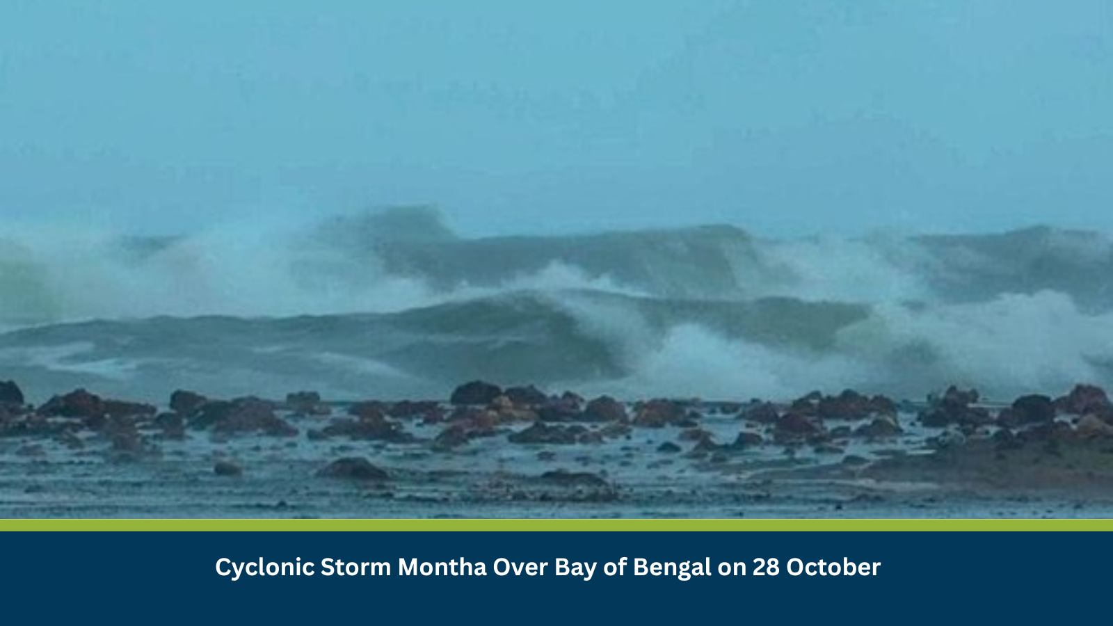
Executive Summary
- Date of Event: 28 October 2025
- Location: Bay of Bengal; coastal states of Tamil Nadu, Andhra Pradesh, Odisha, and West Bengal
- Risk Category: Natural Disasters
- Severity Score: 4/5
- Confidence Level: 90 %
Cyclonic Storm Montha remains active over the central Bay of Bengal, with sustained winds and a well-defined low-pressure structure. Based on IMD’s trajectory models, Montha may approach the north Andhra–south Odisha coast within 48–72 hours, bringing heavy rainfall, rough seas, and high tidal surges.
Expected impact: 3–5 days of disruption across coastal districts, with knock-on effects for transport, utilities, and port operations. Rapid intensification remains a moderate risk.
Current Updates
As of Tuesday, October 28th, a Cyclonic Storm named ‘Montha’ is active and being monitored over the Bay of Bengal. The India Meteorological Department (IMD) is providing regular updates on its status and trajectory.
Known Hotspots and Sensitive Areas
- High Impact: Coastal districts of Ganjam, Kendrapara, Puri (Odisha); Srikakulam, Visakhapatnam (Andhra Pradesh).
- Medium Impact: Chennai, Cuddalore (Tamil Nadu); Digha (West Bengal); Puducherry.
- Low Impact: Andaman & Nicobar Islands (initial rainfall and wind bands), Lakshadweep (indirect impact).
Ports at Paradip, Visakhapatnam, and Haldia are on alert for suspension of operations. Fishing and shipping have been halted across the Bay.
Impact on Transportation and Services
Severe disruption to road, rail, and air connectivity is likely. National Highway 16 (Kolkata–Chennai) and connecting coastal roads may face flooding and blockages. East Coast Railway zones may suspend services. Airports in Visakhapatnam, Bhubaneswar, and Chennai could experience cancellations and diversions. Widespread power outages and telecom disruptions are anticipated post-landfall.
Recommended Actions
- Emergency Readiness: Activate crisis management teams; secure outdoor assets, rooftops, and fuel tanks.
- Personnel Safety: Suspend coastal field activities; issue work-from-home directives for non-essential staff.
- Logistics Planning: Reroute shipments inland; pre-position critical supplies at unaffected hubs.
- Communication: Maintain constant coordination with IMD and local authorities; issue real-time internal advisories.
- Recovery Planning: Prepare for post-event assessments, insurance documentation, and utility restoration.
Emergency Contacts
- Police: 100
- Fire: 101
- Ambulance: 108
- National Emergency: 112
- IMD Alerts: https://mausam.imd.gov.in
- Andhra Pradesh State Disaster Management Authority (APSDMA)
- Odisha State Disaster Management Authority (OSDMA)
- Andhra Pradesh State Disaster Management Authority (APSDMA)
Final Thoughts
Cyclone Montha underscores the continued vulnerability of the eastern Indian coastline to recurring high-intensity storms. The event’s progression through late October coincides with northeast monsoon onset, compounding flood risk. Stay ahead of operational risks with real-time alerts, scenario modeling, and expert advisories with datasurfr’s Predict. Start your 14-day free trial of Datasurfr’s Risk Intelligence Platform today.