





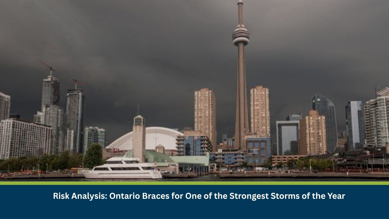
Executive Summary for Heavy Rainfall in Ontario
Ontario is facing a multi-day stretch of severe thunderstorms as September begins, with a sweeping cold front from Michigan set to increase severe weather risk across southern and eastern Ontario on Wednesday. Environment Canada has said the thunderstorm environment has the potential to be one of the strongest of the year over a large part of the region, with risks of torrential downpours, damaging winds, large hail and isolated tornadoes. A low-pressure system in northwestern Ontario had already produced isolated thunderstorms near Georgian Bay and Lake Huron, with the greatest tornado-parameter risk identified east of Lake Huron. Much of southern Ontario, including the Greater Toronto Area, Barrie, Hamilton, the Niagara Region, London and Windsor, is under an elevated risk of severe storms overnight into Wednesday morning.
- Date of Event: 01-03 September 2026
- Location: Southern and eastern Ontario, including the Greater Toronto Area, Barrie, Hamilton, Niagara Region, London and Windsor, Canada
- Risk Category: Environment risk
- Severity Score: 4/5
- Confidence Level: 78%
What is Risk Analysis in the Context of Environment Events
Environmental risk analysis assesses the impact of severe thunderstorm activity, including tornado potential, large hail and damaging winds, on public safety, infrastructure and daily life. Across a large, densely populated region like southern Ontario, a fast-moving line of severe storms can down trees and power lines, produce flash flooding in short bursts of heavy rain, and create tornado risk in areas east of the Great Lakes shoreline.
Known Hotspots and Sensitive Areas
High Impact
- Areas east of Lake Huron, identified as having the greatest tornado-parameter risk
- Greater Toronto Area (GTA), Barrie, Hamilton and the Niagara Region
- London and Windsor, under an elevated risk of severe storms overnight into Wednesday
Medium Impact
- Georgian Bay and Lake Huron areas, where isolated thunderstorms first developed
- Northwestern Ontario, source of the low-pressure system driving the storm threat
- Southern and eastern Ontario more broadly, under a multi-day severe weather threat
Low Impact
- Areas outside the identified severe thunderstorm risk zones
- Northern Ontario regions not in the path of the cold front
Impact on Transportation and Services
The Weather Network has warned that Wednesday’s cold front will raise the potential for torrential downpours, damaging winds, large hail and isolated tornadoes across southern and eastern Ontario, conditions that can disrupt road travel, ground flights and down trees onto power lines. While the most severe storms are expected to track through southwestern Ontario and areas east of Lake Huron, short, intense bursts of rain lasting 30 to 60 minutes remain possible if storms move toward the GTA and Niagara Region, with potential for localized flooding and travel delays.
Recommended Actions
- Monitor Environment Canada and The Weather Network for the latest severe thunderstorm and tornado watches or warnings.
- Secure loose outdoor items and avoid parking under trees or power lines during the storm threat.
- Postpone non-essential travel in southwestern and eastern Ontario during Wednesday’s peak storm window.
- Have a plan to move to a safe, interior location if a tornado warning is issued for your area.
Emergency Contacts
- Emergency Services (Police/Fire/Ambulance), Canada: 911
- Environment Canada Automated Weather Line (Hello Weather): 1-833-794-3556
Final Thoughts
The multi-day severe thunderstorm threat facing Ontario, with Wednesday flagged as potentially one of the strongest storm events of the year, warrants close attention across the southern and eastern parts of the province. Conditions are expected to calm by Thursday as the cold front stabilizes the atmosphere, but residents in the highest-risk areas should stay alert to changing warnings through midweek. Leveraging MitKat’s Datasurfr enables businesses to receive real-time intelligence, monitor evolving threats and make informed decisions to protect people, assets and operations.