


What is Risk Analysis in Context of Natural Disasters?
This report assesses the risks of a natural disaster event in the United States. Hurricanes are a significant and recurring threat, with historical data consistently showing a high potential for infrastructure damage and widespread disruption. This analysis helps organizations prepare for sustained operational challenges related to logistics, personnel movement, and asset protection. It is a critical tool for ensuring business continuity planning in a region highly susceptible to environmental threats.
Executive Summary
- Date of Incident: 20 August 2025
- Location: Outer Banks, Ocracoke Island, Dare County, Hatteras Island, Rodanthe, Waves, Salvo, Avon, Frisco, Buxton, Beaufort Inlet, Duck, Pamlico Sound, Cape Lookout, Margate City, North Carolina, New Jersey, United States
- Risk Category: Natural Disasters
- Severity Score: 4/5
- Confidence Level: 90%
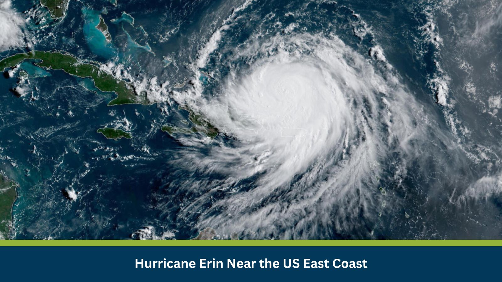
Hurricane Erin is forecasted to churn dangerous swells and winds along the US East Coast, particularly impacting coastal North Carolina, including the Outer Banks and Hatteras Island. The severity is justified by reports of ‘dangerous swells and winds,’ potential for ‘extreme beach and coastal damage,’ and the issuance of ‘mandatory evacuation orders’ for areas like Hatteras Island, indicating a high threat to life, property, and critical infrastructure.
Known Hotspots and Sensitive Areas
Sensitive areas include North Carolina’s Outer Banks, Hatteras Island, and other NC beaches. The US East Coast in general, including states like Pennsylvania and Connecticut, is also under threat from dangerous swells and winds. The Bahamas are also threatened by dangerous seas and flooding.
Impact on Transportation and Services
- Transport Disruption: Transport disruption will be severe, particularly for coastal road networks like NC 12 on the Outer Banks. Air travel to regional airports may face delays or cancellations. Port operations along the affected US East Coast will likely be halted due to high seas and storm surge, impacting shipping and maritime logistics. Ferry services connecting coastal islands will also be suspended.
- Utility Damage: Significant utility damage is anticipated, primarily widespread power outages due to high winds damaging power lines and poles, and flooding impacting substations. Water and wastewater systems in low-lying coastal areas, especially on Hatteras Island, are highly vulnerable to storm surge and flooding, potentially disrupting clean water supply and sanitation services.
Recommended Actions
- Implement mandatory work-from-home policies for all non-essential personnel located in or commuting through affected US East Coast regions.
- Secure all physical assets at facilities by relocating to higher ground or off-site storage.
- Proactively communicate with clients, suppliers, and key stakeholders.
- Activate the business continuity plan (BCP) and convene the incident management team.
Emergency Contacts
- Police: Dial 911 for emergencies. Non-emergency numbers vary by county.
- Fire Department: Dial 911 for fire emergencies.
- Ambulance: Dial 911 for medical emergencies.
- National Emergency: 911
- Official Channels: NOAA NWS National Hurricane Center, North Carolina Emergency Management, NWS Newport/Morehead City NC.
Final Thoughts
The baseline scenario anticipates the hurricane to continue its forecasted path, staying largely offshore but bringing significant coastal flooding and high surf. A moderate escalation could see Hurricane Erin make a glancing landfall, leading to moderate but widespread power outages and significant coastal and inland flooding. A severe escalation, though a low probability, would involve a direct, strong landfall, resulting in catastrophic business interruption and asset destruction. Businesses should prioritize employee safety and business continuity planning to navigate this high-risk event.
Stay ahead of operational risks with real-time alerts, scenario modeling, and expert advisories with datasurfr’s Predict. Start your 14-day free trial of Datasurfr’s Risk Intelligence Platform today.