


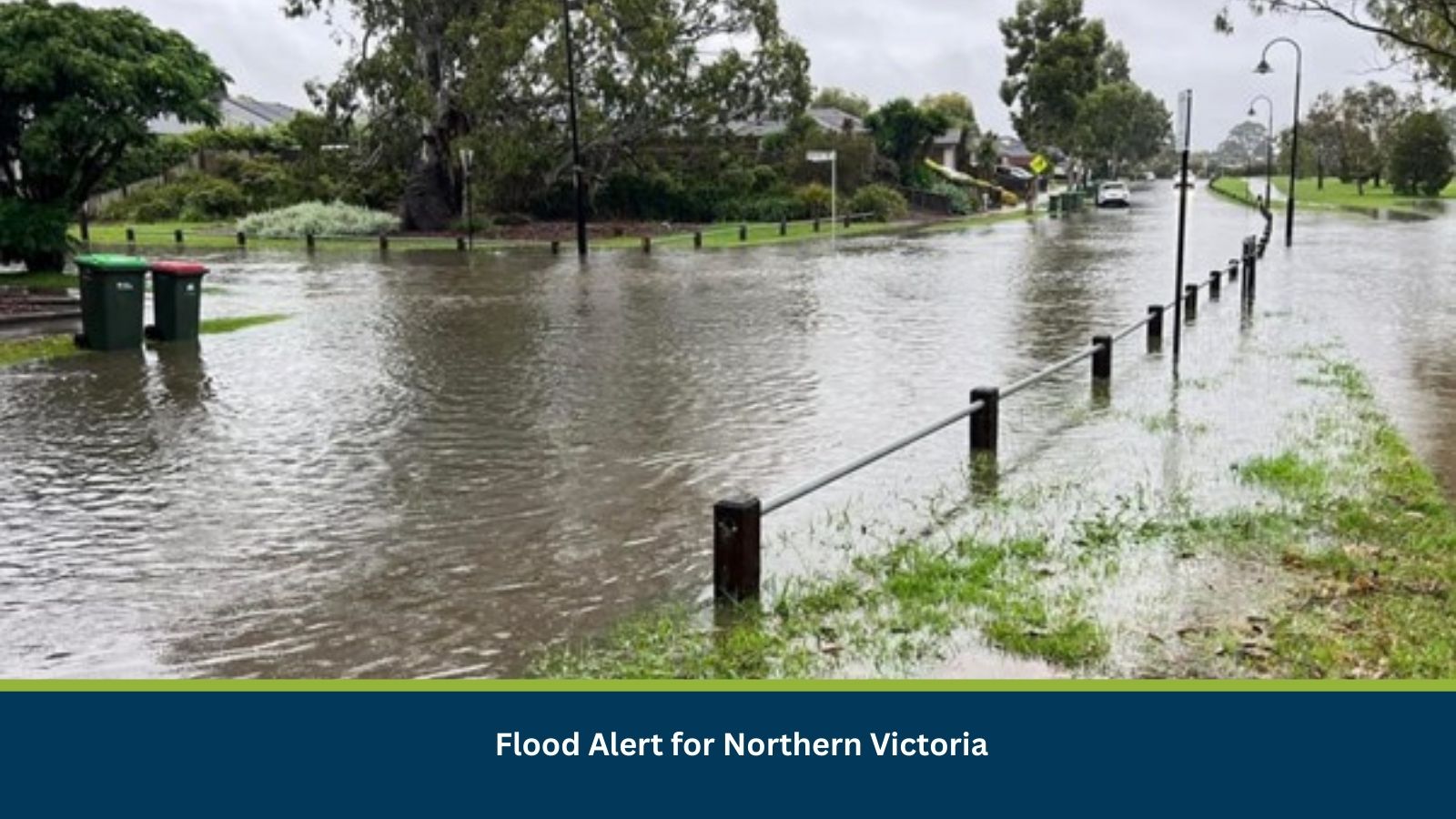
Executive Summary for the Flood Alert in Victoria
VicEmergency has issued a flood alert following forecast heavy rainfall and elevated river levels in northern Victoria. Localized inundation, road closures and disruption to regional supply chains are likely within the next 24–96 hours. Peak river heights may occur 48–72 hours after upstream rainfall, with impacts potentially lasting up to seven days.
- Date of Event: 02 March
- Location: Kyabram, Tongala, Echuca, Victoria, Australia
- Risk Category: Natural Disasters
- Severity Score: 3 / 5
- Confidence Level: 70 %
What is Risk Analysis in the Context of Natural Disasters Events
Natural disaster risk analysis evaluates hazards such as flooding, storms and bushfires that threaten life, infrastructure and economic activity. Riverine flooding in Victoria is typically driven by sustained rainfall, elevated catchment runoff and rising river gauges in systems such as the Campaspe and Murray. Historical flood events in towns including Rochester and Echuca demonstrate predictable patterns: overbank flows within 24–96 hours of heavy rainfall, followed by transport disruption and localized infrastructure damage. Early warning alerts significantly reduce casualties but do not eliminate operational disruption.
Known Hotspots and Sensitive Areas
High Impact:
- Echuca riverfront precinct along the Murray floodplain
- Rochester town centre near the Campaspe River
- Low-level bridges, caravan parks and irrigation corridors
Medium Impact:
- Murray Valley Highway sections near Echuca
- Campaspe Valley Road and feeder roads near Rochester
Low Impact:
- Elevated residential districts outside floodplains
The region has a history of periodic flooding, with low-lying commercial and agricultural land particularly vulnerable.
Impact on Transportation and Services
Floodwaters may prompt short-term road closures, particularly at low-level causeways and bridges. Regional freight, agricultural logistics and coach services between Echuca, Shepparton and Bendigo may face delays or rerouting. Rail services could experience timetable adjustments if drainage systems or level crossings are affected. Localized power outages and sewer pump disruptions are possible. Retail, tourism and farming operations in flood-prone zones may suspend activities temporarily.
Recommended Actions
Immediate Actions:
- Activate flood response protocols and confirm staff safety.
- Relocate vehicles, equipment and inventory to higher ground.
- Suspend non-essential travel through affected corridors.
- Monitor VicEmergency and SES updates continuously.
Strategic Measures:
- Pre-authorize alternative freight routes and staging depots.
- Test backup power systems and secure IT failover capabilities.
- Review insurance documentation and maintain incident logs.
- Coordinate with Victoria State Emergency Service (SES) and local councils for situational updates.
Multidimensional Impact
Concurrent severe weather advisories across regional Victoria may strain emergency services and reduce surge capacity. Overlapping warnings increase pressure on transport infrastructure, accommodation availability and community response resources.
Emergency Contacts
- Emergency Services: 000
- VicEmergency Hotline: 1800 226 226
- VicEmergency Portal: emergency.vic.gov.au/
- Victoria State Emergency Service (SES): ses.vic.gov.au/
Final Thoughts
The 02 March flood alert represents a moderate but evolving riverine flood risk for northern Victoria. While early warning improves preparedness, localized inundation and transport disruption remain likely through the coming days. Businesses should prioritize asset protection, workforce safety and supply chain diversification.
Stay ahead of operational risks with real-time alerts, scenario modelling, and expert advisories with datasurfr’s Predict. Start your 14-day free trial of Datasurfr’s Risk Intelligence Platform today.