





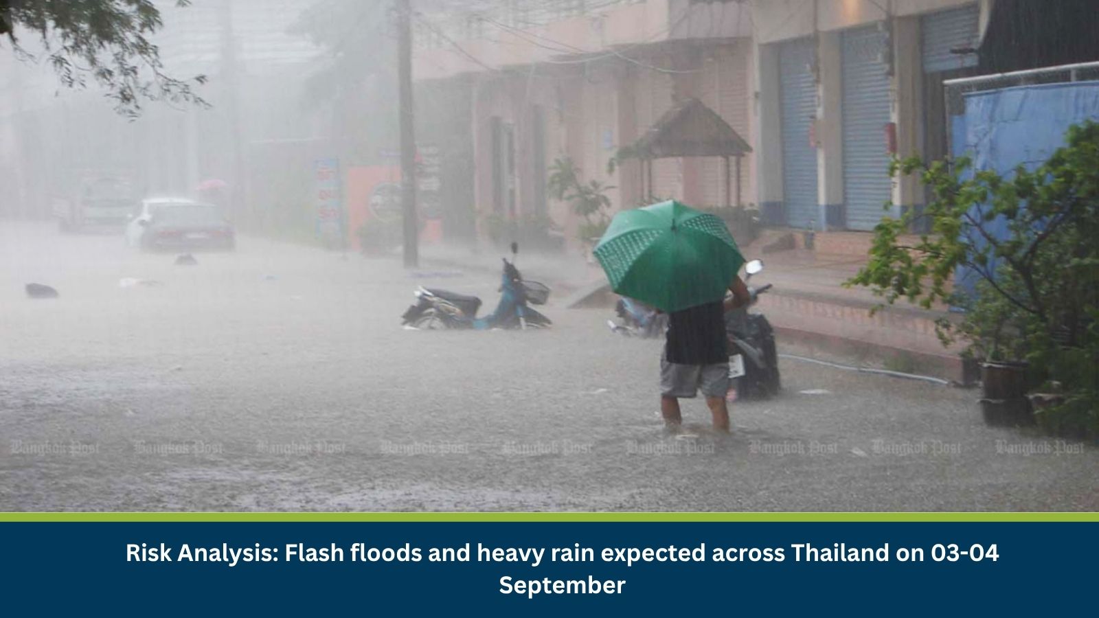
Executive Summary for Flash Floods and Heavy Rain Forecast in Four Regions of Thailand
The Thai Meteorological Department (TMD) has warned of isolated heavy rain across 24 provinces in four regions on 03 September 2026, with accumulated rainfall potentially triggering flash floods and run-off. The regional forecast, covering 03-04 September, names 36 provinces and Bangkok where rain or thunderstorms are expected, with coverage of up to 60 percent in several regions. A monsoon trough extending across the upper North and upper Laos into Tropical Storm Saudel over the upper South China Sea is driving the unsettled conditions, alongside a moderate southwest monsoon over the Andaman Sea, Thailand and the Gulf of Thailand.
- Date of Event: 03-04 September 2026
- Location: North, Northeast, Central, East, South and Bangkok regions, Thailand
- Risk Category: Environment
- Severity Score: 3/5
- Confidence Level: 78%
What is Risk Analysis in the Context of Environment Events
Environmental risk analysis assesses the impact of warning-level heavy rainfall on public safety, infrastructure and transportation. Across Thailand’s flood-prone provinces, intense rain over a short period can trigger flash floods and run-off near foothills, waterways and low-lying areas, while elevated wave heights along the coasts raise the risk for mariners and coastal communities.
Known Hotspots and Sensitive Areas
High Impact
- North region: Chiang Rai, Phayao, Nan, Tak, Uttaradit, Phitsanulok and Phetchabun, with 60 percent regional rain coverage
- Northeast region: Bueng Kan, Nakhon Phanom, Mukdahan, Roi Et, Yasothon, Amnat Charoen, Si Sa Ket and Ubon Ratchathani, with 60 percent regional rain coverage
- South, west coast: Phang Nga, Phuket, Krabi, Trang and Satun, with waves potentially exceeding two metres during thunderstorms
Medium Impact
- Central region: Nakhon Sawan, Lop Buri, Saraburi, Kanchanaburi and Ratchaburi, with 40 percent regional rain coverage
- East region: Nakhon Nayok, Prachin Buri, Chanthaburi and Trat, with coastal waves of one to two metres
- South, east coast: Surat Thani, Nakhon Si Thammarat, Phatthalung, Songkhla, Pattani, Yala and Narathiwat
Low Impact
- Bangkok and surrounding provinces, with 60 percent thunderstorm coverage but no flash flood warning issued
- Areas of southern China where Tropical Storm Saudel is forecast to make landfall, outside Thailand’s territory
Impact on Transportation and Services
The TMD has advised motorists to avoid routes prone to repeated flooding, particularly low-lying roads where water could accumulate rapidly, and has urged people living near foothills, waterways and low-lying areas to monitor conditions closely. Mariners in the Andaman Sea and Gulf of Thailand have been told to navigate cautiously and avoid stormy areas, with waves in the upper Andaman Sea expected to reach about two metres and exceed that height during thunderstorms.
Recommended Actions
- Avoid low-lying roads and routes prone to repeated flooding during the warning period.
- Residents near foothills, waterways and low-lying areas should monitor TMD updates closely.
- Mariners in the Andaman Sea and Gulf of Thailand should avoid stormy areas and navigate with caution.
- Travellers heading to affected parts of southern China should check weather conditions before departure.
- Keep emergency contacts and evacuation routes ready in flash-flood-prone provinces.
Emergency Contacts
- Thai Meteorological Department Hotline: 1182
- Tourist Police Hotline, Thailand: 1155
Final Thoughts
The TMD’s warning underscores the recurring flash flood risk across Thailand as the monsoon trough and Tropical Storm Saudel bring unsettled conditions to a wide swath of the country. With rain forecast to cover up to 60 percent of several regions, continued monitoring through 4 September is advised, particularly for communities near waterways and low-lying terrain. Leveraging MitKat’s Datasurfr enables businesses to receive real-time intelligence, monitor evolving threats and make informed decisions to protect people, assets and operations.