





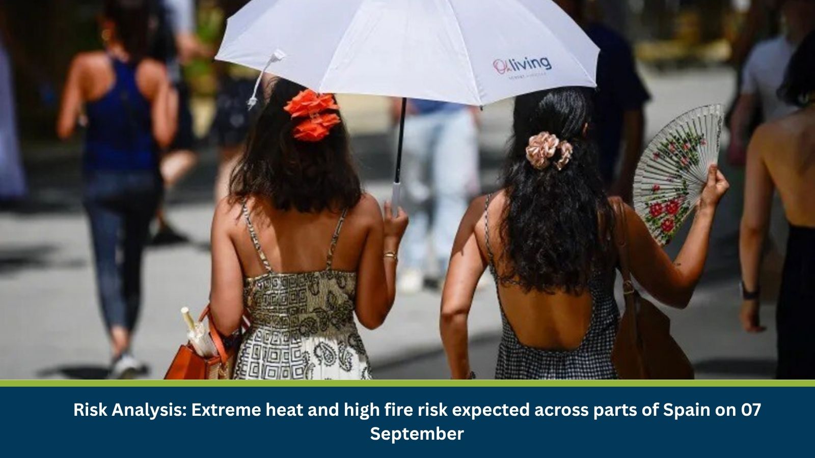
Executive Summary for Extreme Heat and Fire Risk Across Spain
Spain’s weather outlook for 7 September 2026 points to a sharp contrast between a wet, cloudy Cantabrian north and a hot, dry south and interior under strong high-pressure influence. Orange-level warnings for extreme heat are in force across the southern Andalusian countryside, including areas of Cordoba, Seville and Jaen, where highs of up to 40°C are forecast, while a wider band of yellow warnings covers Extremadura, Madrid, Castilla-La Mancha, interior Valencia and Alicante, Murcia, Aragon and parts of Catalonia and the Balearic Islands, with highs between 34°C and 39°C. An additional orange alert applies to eastern, southern and western Gran Canaria for sustained heat with tropical nights, alongside a separate yellow coastal-wind warning for the western Canary Islands. Prolonged high temperatures and dry conditions over these interior and southern areas are typically associated with elevated wildfire risk during this period of the year.
- Date of Event: 07 September 2026
- Location: Andalusia (Cordoba, Seville, Jaen), Extremadura, Madrid, Castilla-La Mancha, interior Valencia and Alicante, Region of Murcia, Aragon, Lleida (Catalonia), Balearic Islands and the Canary Islands, Spain
- Risk Category: Environment
- Severity Score: 4/5
- Confidence Level: 78%
What is Risk Analysis in the Context of Environment Events
Environmental risk analysis assesses the impact of extreme heat warnings on public health, outdoor activity and wildfire potential. When high pressure locks dry, hot air over a region for an extended period, daytime temperatures climb sharply, overnight cooling is limited in warning-level zones, and dry vegetation becomes more susceptible to ignition, all of which raise the burden on health services, outdoor workers and, in the driest interior and southern areas, the wildfire risk profile.
Known Hotspots and Sensitive Areas
High Impact
- Seville and the Guadalquivir valley, under an orange warning with highs forecast to reach 40°C
- Cordoba and the Cordoba and Seville countryside (campina), under an orange warning with highs around 39°C
- Jaen, including the Morena and Condado districts and the Guadalquivir valley, under an orange warning for extreme heat
- Eastern, southern and western Gran Canaria, under an orange warning for heat with tropical nights near 26°C
Medium Impact
- Extremadura, with Caceres reaching around 37°C and Badajoz around 38°C under yellow warnings
- Madrid, Castilla-La Mancha (Toledo, Ciudad Real, Cuenca, Albacete) and the Region of Murcia, with highs of 36°C to 38°C under yellow warnings
- Interior Valencia and Alicante, Aragon (Zaragoza, Lleida) and parts of the Balearic Islands, including the south and interior of Mallorca, with highs of 34°C to 38°C under yellow warnings
Low Impact
- The Cantabrian coast and Galicia’s Atlantic seaboard, where cloud and Atlantic humidity keep highs in the low-to-mid 20s°C
- Mediterranean coastal cities such as Malaga and Almeria, where sea breezes hold highs closer to 27-28°C
- Western Canary Islands (Tenerife, La Gomera, El Hierro), affected mainly by a separate yellow coastal-wind warning rather than the extreme-heat alerts
Impact on Transportation and Services
A yellow warning for coastal phenomena is in force for Gran Canaria, Tenerife, La Gomera and El Hierro, with north to northeast winds of 50 to 61 km/h forecast, which is expected to affect maritime navigation and inter-island ferry channels. On the mainland, sustained high temperatures in interior and southern provinces raise the operational burden on outdoor services and can prompt local authorities to restrict agricultural burning and outdoor works during peak afternoon hours in the highest-risk districts.
Recommended Actions
- Avoid outdoor exposure between midday and early evening in Andalusia, Extremadura and other orange- and yellow-warning areas.
- Outdoor workers and farmers in the Cordoba and Seville countryside and the Guadalquivir valley are advised to adjust working hours away from peak afternoon heat.
- Residents in eastern, southern and western Gran Canaria should stay hydrated overnight given the persistence of tropical night-time temperatures.
- Mariners and inter-island ferry operators around Gran Canaria, Tenerife, La Gomera and El Hierro should exercise caution given forecast winds of 50-61 km/h.
- Follow local fire-risk advisories and any restrictions on outdoor burning in dry interior and southern provinces.
- Monitor AEMET and regional civil protection updates, as orange- and yellow-level warnings may be revised through the day.
Emergency Contacts
- Spain General Emergency Number: 112
- AEMET Weather Warnings Portal: consult regional updates for the latest changes
Final Thoughts
The 07 September outlook underlines a familiar late-summer pattern for Spain, with a stable, hot air mass driving orange-level extreme heat warnings across southern Andalusia and Gran Canaria while a residual Atlantic front keeps the Cantabrian north cool and cloudy. With dry, high-temperature conditions persisting across large interior and southern areas, continued attention to heat and associated wildfire risk is advised until the pattern breaks. Leveraging MitKat’s Datasurfr enables businesses to receive real-time intelligence, monitor evolving threats and make informed decisions to protect people, assets and operations.