





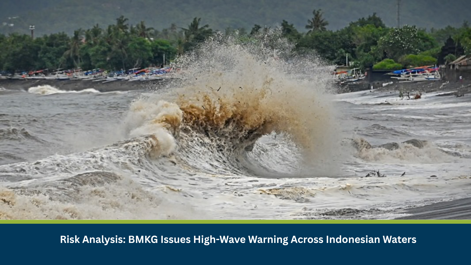
Executive Summary for High Waves Across Indonesian Waters
Indonesia’s Meteorology, Climatology, and Geophysics Agency (BMKG) has issued a high-wave warning valid from 0700 hours local time on 12 October until 0700 hours local time on 15 October 2026. The warning identifies waves of 2.5–4 meters across several areas, including the Indian Ocean west of Aceh, Nias, Mentawai, Bengkulu and Lampung, as well as waters south of Banten, West Java, Central Java, Yogyakarta, East Java, Bali and West Nusa Tenggara (NTB).
The conditions pose risks to fishing activity, passenger vessels and other maritime operations. BMKG’s official marine warning also identifies waves of 4–6 meters in the southern Lombok Strait, indicating that conditions in some locations may exceed the 4-metre maximum stated in the supplied news headline. Vessel operators should therefore consult the detailed regional warning before sailing.
- Date of Event: 12–15 October 2026
- Location: Indonesia
- Risk Category: Environment
- Severity Score: 3/5
- Confidence Level: 80%
What is Risk Analysis in the Context of Environment Events
Environment event risk analysis assesses how elevated waves, strong winds and changing sea conditions may affect vessel stability, navigation, port operations, fishing activity and coastal communities. High waves can make small vessels especially vulnerable and increase the likelihood of delays, cancellations and unsafe departures.
Known Hotspots and Sensitive Areas
High Impact
- Indian Ocean west of Sumatra: Waters west of Aceh, Nias, Mentawai, Bengkulu and Lampung face forecast waves of 2.5–4 meters.
- Southern Indonesian waters: Areas south of Banten, West Java, Central Java, Yogyakarta, East Java, Bali and NTB are included in the 2.5–4-metre warning.
- Southern Lombok Strait: BMKG’s official warning identifies a potential wave height of 4–6 meters, representing a particularly significant hazard for maritime traffic.
Medium Impact
- Java Sea: Central and eastern areas are forecast to experience waves of 1.25–2.5 meters.
- Bali Sea and Sumbawa waters: Waves of 1.25–2.5 meters are forecast in these areas, although conditions may vary locally.
- Makassar Strait and Maluku Sea: Parts of these waters are also included in BMKG’s moderate-wave warning, which may affect smaller vessels and local maritime services.
Low Impact
- Maritime areas outside the identified warning zones may face lower direct exposure to the forecast high waves. However, operators should not assume conditions are safe solely because a particular area is not listed in the high-wave category.
- Actual conditions may vary by location and time, making updated BMKG forecasts and local port advisories important for operational decisions.
Impact on Transportation and Services
The primary exposure is to maritime transport, fishing operations and coastal logistics. High waves can make departures unsafe for small fishing boats and passenger vessels, increase voyage times and lead to schedule changes or cancellations. The southern Lombok Strait warning is particularly relevant for operators assessing routes through the area. Ports, ferry operators, fishing communities and businesses dependent on sea-based transport may face delays if vessels are held in port or routes are adjusted. Offshore work and coastal activities may also need to be restricted depending on local conditions. These are potential operational consequences of the forecast; the warning itself does not confirm that cancellations or infrastructure damage have already occurred.
Recommended Actions
- Check BMKG’s latest marine forecasts before scheduling vessel departures.
- Small fishing vessels and other vulnerable craft should avoid sailing into hazardous conditions.
- Ferry, shipping and logistics operators should review route conditions and prepare for schedule adjustments.
- Confirm local port advisories and any restrictions imposed by maritime authorities.
- Review crew safety procedures and ensure appropriate safety equipment is available.
- Businesses relying on maritime freight should account for possible delays and identify alternative arrangements where feasible.
- Pay particular attention to the southern Lombok Strait, where the official forecast identifies waves potentially reaching 4–6 metres.
Emergency Contacts
- Indonesia Emergency Services: 112, where available locally
- BMKG: Consult the official marine-weather warning service for updated conditions.
- BASARNAS Search and Rescue: Contact the nearest regional search-and-rescue office in a maritime emergency.
Final Thoughts
The high-wave warning represents a moderate environmental risk with potentially serious localized consequences for maritime safety. Forecast waves of 2.5–4 meters across multiple Indonesian waters, combined with the higher 4–6-metre warning for the southern Lombok Strait, warrant close monitoring by vessel operators, fishing communities and maritime logistics providers through 15 October. Leveraging MitKat’s Datasurfr enables businesses to receive real-time intelligence, monitor evolving threats and make informed decisions to protect people, assets and operations.