





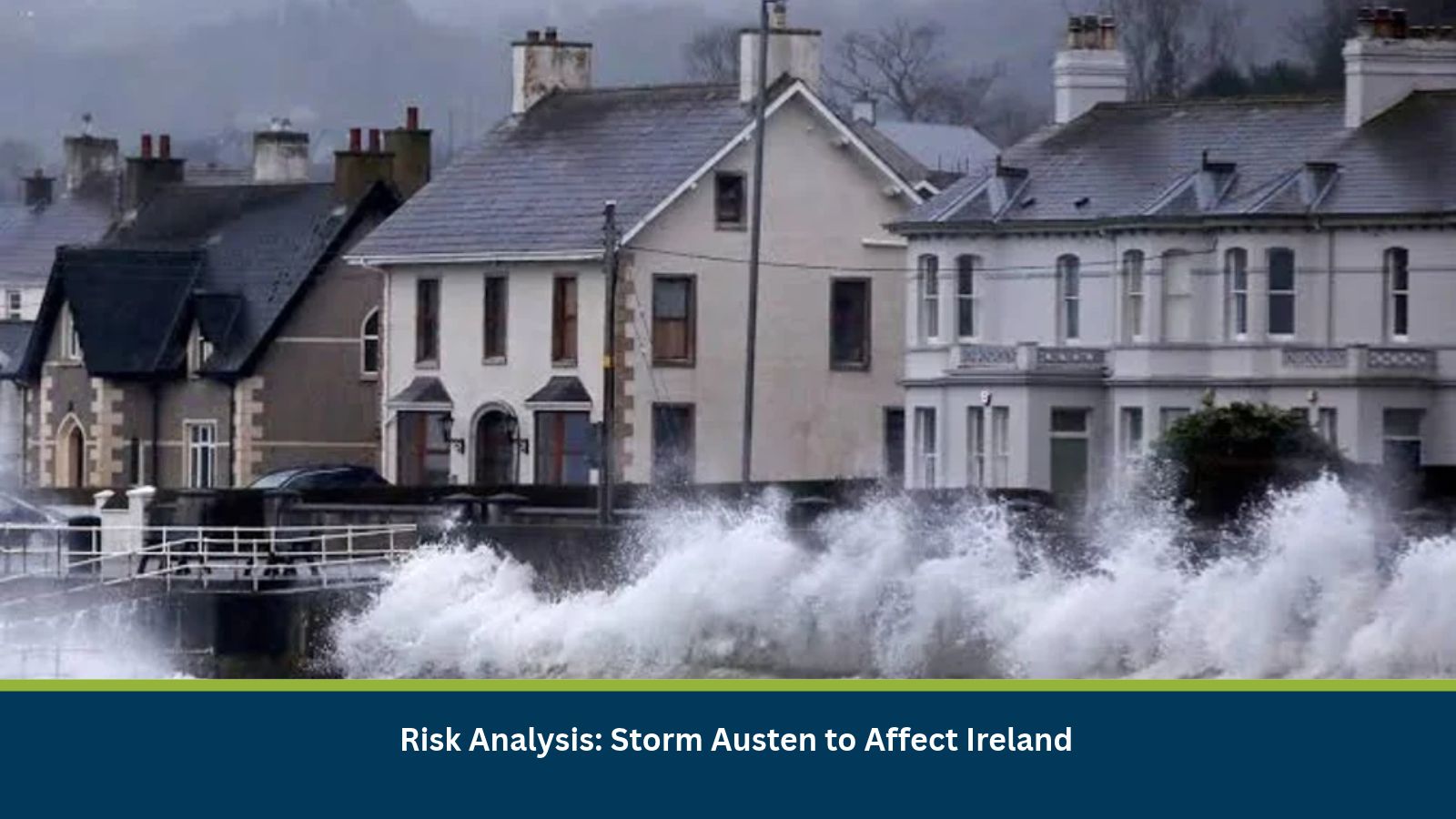
Executive Summary for Storm Austen in Ireland
Ireland is preparing for the impact of Storm Austen, the first named storm of the 2026/2027 season, with heavy rainfall and strong winds forecast from 22 October into 23 October. Met Éireann issued a nationwide Status Yellow rain and wind warning, with orange rainfall warnings covering Cork, Kerry and Waterford during the initial period of intense rainfall. Further Orange rainfall warnings were planned for Dublin, Wexford and Wicklow later in the night. The storm is forecast to track past Ireland’s south coast, although uncertainty remains over its precise path and the locations likely to experience the heaviest rainfall and strongest winds.
The main risks include localized and river flooding, hazardous road conditions, disruption to rail and bus services, fallen trees and damage caused by displaced outdoor objects. Saturated ground and elevated river levels may increase the risk of flooding in southern, southeastern and eastern areas. Businesses operating in affected counties should review employee travel arrangements, protect exposed assets and prepare for potential delays to deliveries and site access. Coastal and marine operations should also monitor wind and sea conditions, as separate marine warnings have been issued.
- Date of Event: 22 October to 23 October 2026
- Location: Ireland, with particular concern for southern, southeastern and eastern counties
- Risk Category: Natural Disasters
- Severity Score: 3/5
- Confidence Level: 78%
What is Risk Analysis in the Context of Natural Disasters
Risk analysis for natural disasters assesses how heavy rainfall, strong winds and associated flooding may affect people, infrastructure, transport networks and business continuity. The principal concerns include flooding, transport disruption, workforce safety, infrastructure exposure and business continuity. The degree of disruption will vary by location and warning level. Orange warning areas face a greater likelihood of significant rainfall impacts, while yellow warning areas may experience localized flooding and difficult travel conditions.
Known Hotspots and Sensitive Areas
High Impact
- Cork, Kerry and Waterford: Orange rainfall warnings are in effect from 22 October night into early 23 October. Intense rainfall and already wet ground may increase flood risk, disrupt transport and affect low-lying commercial premises.
- Dublin, Wexford and Wicklow: Further Orange rainfall warnings are planned as the storm moves eastwards. Businesses and commuters should prepare for possible flooding and transport delays.
- Flood-prone river catchments and low-lying areas: Small, mountainous, upland and urban catchments may respond rapidly to intense rainfall. River levels may rise towards or above their banks, creating risks for nearby properties and transport routes.
Medium Impact
- Southern and southeastern Ireland: Heavy rainfall and strengthening winds may affect road travel, outdoor work and business deliveries, particularly in exposed locations.
- Eastern counties and surrounding areas: As the storm progresses, rainfall may affect commuting routes and access to commercial premises. The severity of disruption will depend on local rainfall and drainage conditions.
- Coastal and marine areas: Strong winds and rough sea conditions may affect exposed coastal infrastructure, small vessels and marine-related business operations.
Low Impact
- Premises outside warning areas: Businesses located away from flood-prone areas may experience limited direct impact, although supply-chain and transport delays remain possible.
- Indoor operations with secure access: Office-based activities may continue where premises remain safe, and employees can travel without undue risk.
- Remote business operations: Administrative and online activities that do not depend on physical access may continue with limited disruption.
Impact on Transportation and Services
- Road transportation: Heavy rain, standing water, debris and fallen branches may make driving hazardous and lead to local road closures. Drivers should avoid flooded roads and follow official diversion instructions.
- Rail and bus services: Met Éireann has identified potential disruption and delays to public transport, including rail and bus services.
- Commercial deliveries: Flooding and hazardous travel conditions may delay freight movement, supplier deliveries and access to business premises.
- Workforce movement: Employees travelling through affected counties may require additional journey time or alternative arrangements.
- Outdoor operations: Construction, maintenance and outdoor events may need to be postponed or adjusted as wind and rainfall intensify.
- Marine transportation: Strong winds and storm-force conditions in some coastal waters may affect small vessels and exposed marine operations.
Recommended Actions
- Monitor official warnings: Follow Met Éireann updates and local authority advisories for changes to warning levels and affected counties.
- Review employee travel: Allow additional journey time where necessary and consider remote working when conditions make commuting unsafe.
- Avoid flooded roads: Do not drive through floodwater or bypass road-closure signs. Use alternative routes where advised.
- Protect exposed assets: Secure outdoor equipment, loose materials and temporary structures, and protect stock in flood-prone areas.
- Prepare for delivery delays: Coordinate with suppliers and transport providers to adjust delivery schedules if routes become hazardous.
- Review outdoor activities: Suspend or postpone exposed work and outdoor events when weather conditions create safety risks.
- Check marine conditions: Ensure vessel operators and coastal businesses follow relevant marine warnings and official safety guidance.
Emergency Contacts
- Ireland-wide emergency services: 112 or 999
Final Thoughts
Storm Austen presents a moderate natural-disaster risk to Ireland, with the potential for significant localized impacts in areas under orange rainfall warnings. The principal concerns are flooding, hazardous travel conditions, public transport disruption and exposure of commercial assets to strong winds. Businesses should monitor warning updates, assess local flood exposure and implement appropriate continuity measures. Leveraging MitKat’s Datasurfr enables businesses to receive real-time intelligence, monitor evolving threats and make informed decisions to protect people, assets and operations.