





Executive Summary for Heavy Rainfall and Flood Risks in Vietnam
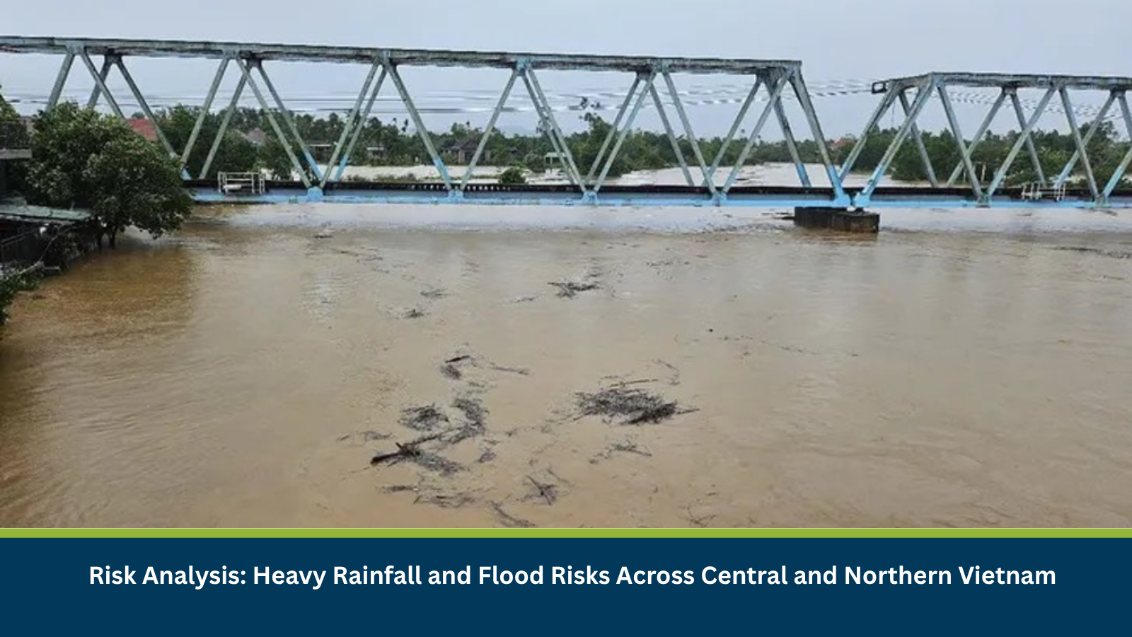
Heavy rainfall is continuing across parts of central Vietnam, with the area of intense precipitation expected to shift northwards on 09 October 2026. According to Vietnam Television (VTV), rainfall over Da Nang and eastern Quang Ngai was expected to ease from 09 October, while heavier rain moves towards northern parts of central Vietnam. During the night of 09 October and on 10 October, Thanh Hoa and Nghe An are forecast to receive 40–80 mm of rain, with isolated totals exceeding 150 mm. From Ha Tinh to Hue, rainfall of 50–100 mm is expected, with isolated totals above 200 mm. Flood warnings remain in effect for rivers from Quang Tri to eastern Quang Ngai. River levels from Quang Tri to Hue may reach Alert Level 1–2, with some rivers potentially exceeding Alert Level 2. Authorities have warned of flooding in low-lying and urban areas, alongside flash-flood and landslide risks on steep terrain. Localized flooding and a road embankment landslide have already been reported in Quang Ngai, while a rain- and lightning-related fatality was reported in Lam Dong on 07 October.
- Date of Event: 09–10 October 2026
- Location: Central and north-central Vietnam, particularly Quang Tri, Hue, Da Nang, Quang Ngai, Ha Tinh, Nghe An and Thanh Hoa
- Risk Category: Environment
- Severity Score: 4/5
- Confidence Level: 78%
What is Risk Analysis in the Context of Environment Events
Environment event risk analysis assesses the potential consequences of intense rainfall, rising river levels and saturated ground for communities, transport networks, utilities and business operations. In Vietnam’s central coastal and mountainous areas, heavy rain can trigger river flooding, flash floods and landslides, potentially disrupting roads and isolating settlements.
Known Hotspots and Sensitive Areas
High Impact
- Quang Tri and Hue: River levels may reach Alert Level 1–2, with some rivers potentially exceeding Alert Level 2. Low-lying riverside settlements and urban areas face an elevated risk of inundation.
- Ha Tinh: Heavy rainfall is forecast as the rain system shifts north, increasing the potential for surface flooding and river-level rises.
- Nghe An and Thanh Hoa: Forecast rainfall of 40–80 mm, with isolated totals exceeding 150 mm, could create localised flooding and transport disruption during the night of -9 October and on 10 October.
Medium Impact
- Da Nang: Heavy rain was reported to continue on 08 October, with a gradual reduction expected from 09 October. Residual flooding and drainage pressures may remain a concern.
- Eastern Quang Ngai: Heavy rain has already caused localized flooding and a roughly 20-metre landslide on a concrete inter-village road in Ngoc Linh commune. Authorities have placed warning signs and deployed personnel to manage traffic and assist residents in flooded areas.
- Mountainous and sloping terrain across central Vietnam: Saturated ground increases the risk of landslides and flash floods, particularly where heavy rainfall continues.
Low Impact
- Areas outside the principal rainfall and river-warning zones are expected to face lower direct exposure, although localized thunderstorms and changing rainfall patterns may still affect travel.
- The forecast indicates that rainfall should ease across Da Nang and eastern Quang Ngai from 09 October, but this does not eliminate risks from existing high river levels or saturated ground.
Impact on Transportation and Services
The primary operational exposure is to road connectivity, local communities and logistics across central and north-central Vietnam. Flooding in low-lying areas can make roads impassable, while landslides may block routes in hilly districts. Rising river levels can also affect river transport, agriculture and access to settlements. The reported landslide in Ngoc Linh commune and localized flooding in Quang Ngai demonstrate that transport disruption is already occurring in some locations. Further rainfall could worsen conditions along exposed roads and delay the movement of goods, employees and emergency services.
Recommended Actions
- Monitor official weather and flood alerts for Quang Tri, Hue, Da Nang, Quang Ngai, Ha Tinh, Nghe An and Thanh Hoa.
- Avoid flooded roads, swollen streams and routes affected by landslides or official roadblocks.
- Businesses should review alternative routes and contingency arrangements for deliveries and staff travel.
- Personnel in low-lying areas should move to safer locations if instructed by local authorities.
- Facilities near rivers, drainage channels or steep slopes should review flood preparedness and evacuation procedures.
- Maintain communication with local teams and suppliers as the rainfall zone shifts northwards.
Emergency Contacts
- Vietnam Emergency Rescue: 112
- Police: 113
- Fire and Rescue: 114
- Medical Emergency: 115
Final Thoughts
Heavy rainfall and rising river levels present a high and evolving environmental risk across central and north-central Vietnam. The expected northward shift in rainfall on 09 October places additional attention on Ha Tinh, Nghe An and Thanh Hoa, while river flooding and saturated ground remain concerns from Quang Tri to Quang Ngai. Existing localised flooding and landslide reports reinforce the need for continued monitoring, cautious travel and operational contingency planning.Leveraging MitKat’s Datasurfr enables businesses to receive real-time intelligence, monitor evolving threats and make informed decisions to protect people, assets and operations.