





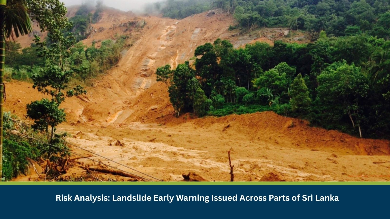
Executive Summary for Landslide Risk in Sri Lanka
Sri Lanka’s Disaster Management Centre (DMC), in coordination with the National Building Research Organisation (NBRO), issued an updated landslide early warning on 06 October, valid until 1600 hrs on 07 October 2026. The warning covers vulnerable areas across Kandy, Kegalle, Badulla, Matale and Ratnapura districts, with different warning levels assigned according to local landslide susceptibility. The warning is linked to cumulative rainfall conditions and weather forecasts. Sri Lanka’s Department of Meteorology has also forecast showers or thundershowers in several provinces, with fairly heavy rainfall above 75 mm possible in parts of the Western, Sabaragamuwa, Central, North-Western and Southern provinces. This could further increase slope instability in already vulnerable locations.
- Date of Event: 07 October 2026
- Location: Kandy, Kegalle, Badulla, Matale and Ratnapura districts, Sri Lanka
- Risk Category: Natural Disasters
- Severity Score: 3/5
- Confidence Level: 75%
What is Risk Analysis in the Context of Natural Disaster Events
Natural disaster event risk analysis assesses the potential for extreme weather events like unstable slopes, rockfalls, mudslides and other ground movements to affect communities, transportation routes and infrastructure. In Sri Lanka, prolonged or intense rainfall can increase soil saturation and destabilize slopes, particularly in mountainous and hilly areas.
Known Hotspots and Sensitive Areas
High Impact
- Kandy District: Ududumbara Divisional Secretariat Division and surrounding areas are under a Level 3 (Red) warning, indicating the highest level of concern and the need for immediate preparedness, including evacuation where instructed.
- Kandy District: Minipe and Udapalatha Divisional Secretariat Divisions and surrounding areas are under a Level 2 (Amber) warning, indicating a need to remain prepared for possible evacuation.
- Kegalle District: Rambukkana Divisional Secretariat Division and surrounding areas are also under a Level 2 (Amber) warning.
Medium Impact
- Badulla District: Passara Divisional Secretariat Division and surrounding areas are under a Level 1 (Yellow) warning.
- Kegalle District: Bulathkohupitiya and Dehiowita Divisional Secretariat Divisions and surrounding areas are under Level 1.
- Matale District: Ambanganga Korale, Matale and Rattota Divisional Secretariat Divisions and surrounding areas are under Level 1.
- Ratnapura District: Eheliyagoda, Weligepola, Ayagama, Kuruwita and Ratnapura Divisional Secretariat Divisions and surrounding areas are under Level 1.
Low Impact
- Areas outside the identified Divisional Secretariat Divisions are not specifically included in the current landslide warning. However, additional rainfall could alter localized risk, particularly around steep slopes, valleys, cut slopes and previously identified landslide-prone areas.
Impact on Transportation and Services
The primary operational exposure is to road connectivity in hilly and mountainous areas. Landslides, falling debris or slope failures could temporarily block roads, slow vehicle movement and restrict access to affected communities. Roads constructed along steep or man-made cut slopes are particularly vulnerable. Further rainfall could also increase the likelihood of sudden slope failures and secondary road disruptions. Businesses operating or travelling through the affected districts may face delays in road-based movement, disruption to local supply routes and difficulties accessing hillside communities or facilities.
Recommended Actions
- Avoid unnecessary travel through identified landslide-prone areas, particularly during periods of heavy rainfall.
- Monitor DMC and local authority warnings before travelling through Kandy, Kegalle, Badulla, Matale and Ratnapura.
- Businesses with personnel, facilities or supply routes in affected areas should review alternative road routes and maintain communication with local teams.
- Exercise additional caution near steep slopes, valleys, road cuttings and areas showing signs of ground movement.
- Watch for warning signs including cracks in the ground, leaning trees or utility poles and sudden changes in water flow from streams or springs.
- Follow evacuation instructions immediately if authorities issue them.
Emergency Contacts
- Sri Lanka Disaster Management Centre Call Centre: 117
Final Thoughts
The current warning represents a localized but significant landslide exposure across central and south-western parts of Sri Lanka, with the highest alert concentrated in parts of Kandy and Kegalle. Continued rainfall could increase the risk of slope failures and associated road disruption before the warning period expires at 1600 hrs on 07 October. Leveraging MitKat’s Datasurfr enables businesses to receive real-time intelligence, monitor evolving threats and make informed decisions to protect people, assets and operations.