





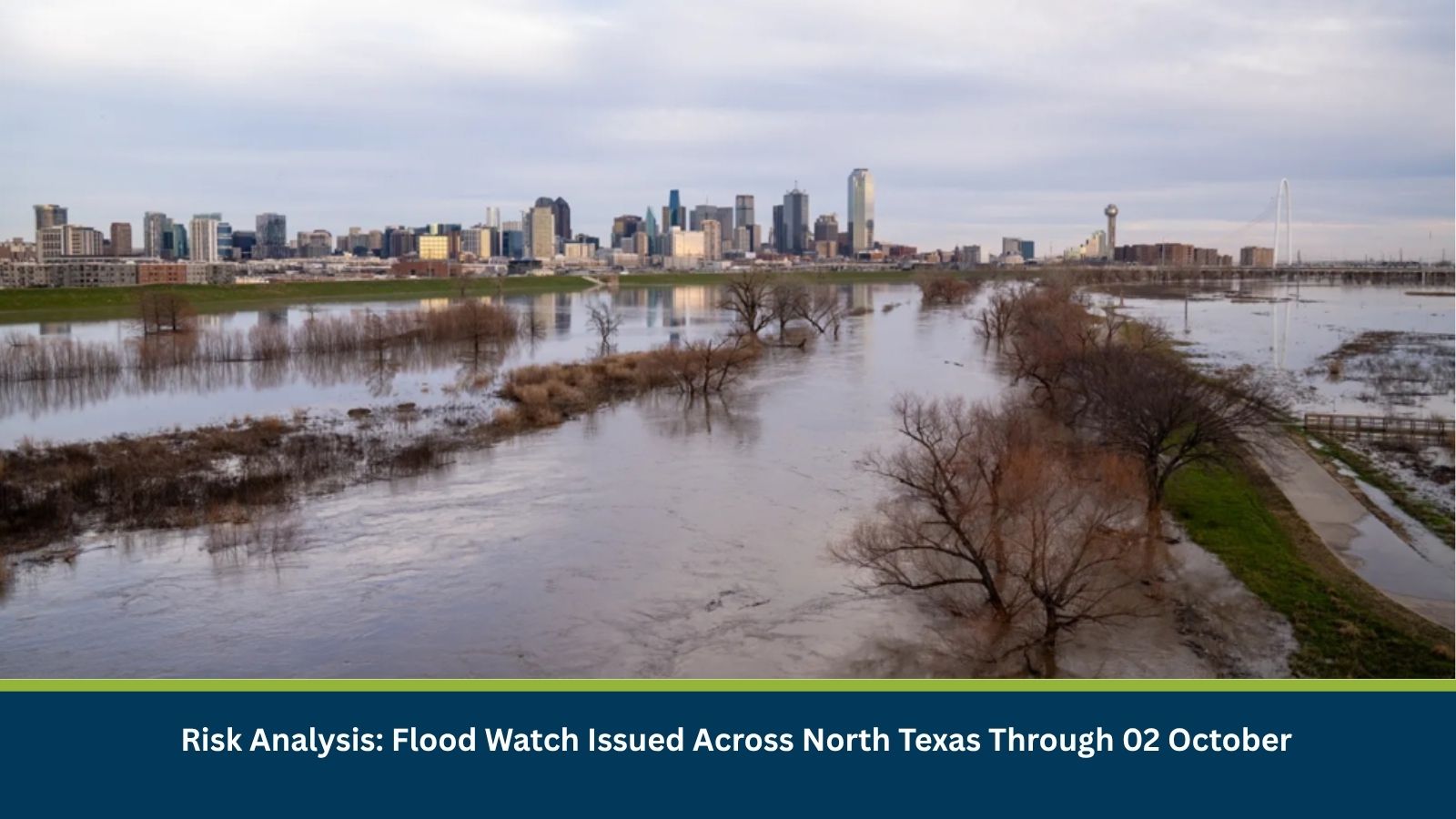
Executive Summary for North Texas Flood Watch
The National Weather Service has issued a Flood Watch for parts of North Texas through Friday, 02 October, as tropical moisture combines with a slow-moving weather system to bring repeated rounds of heavy rainfall. Forecast rainfall totals of 50-125 mm are expected across much of the region, with isolated areas potentially receiving up to 200 mm. The greatest risk is expected from Wednesday (30 September) night through Friday (02 October), when slow-moving thunderstorms could trigger flash flooding in urban areas, low-lying locations, creeks and flood-prone roadways.
- Date of Event: 30 September – 02 October 2026
- Location: North Texas, including the Dallas–Fort Worth Metroplex and surrounding areas
- Risk Category: Natural Disasters
- Severity Score: 3/5
- Confidence Level: 78%
What is Risk Analysis in the Context of Natural Disaster Events
Natural disasters event risk analysis assesses the impact of extreme weather conditions like heavy rainfall on business operations. Flood Watches indicate favorable conditions for flooding due to prolonged or intense rainfall. Urban centers, low-water crossings, drainage systems and transport corridors are particularly vulnerable to inundation during repeated storm activity.
Known Hotspots and Sensitive Areas
High Impact
- Dallas–Fort Worth Metroplex
- Low-lying roads, underpasses and flood-prone urban areas
- Creeks, rivers and drainage channels across North Texas
- Areas stretching from Killeen and Waco northwards to Dallas and the Texas–Oklahoma border.
Medium Impact
- Major highways and interstates exposed to poor visibility and water accumulation.
- Industrial and logistics facilities dependent on road transport.
Low Impact
- Elevated areas with effective drainage systems.
Impact on Transportation and Services
Multiple rounds of thunderstorms may cause localized road closures, slower travel speeds and traffic disruption, particularly during peak commuting periods. Heavy rain may also affect outdoor operations, construction activity and logistics movements. Some storms could additionally bring hail, lightning and strong winds.
Recommended Actions
- Monitor National Weather Service advisories.
- Allow additional travel time during heavy rainfall periods.
- Businesses should review contingency plans for weather-related disruption.
- Secure outdoor equipment where thunderstorms are expected.
Emergency Contacts
- Emergency Services: 911
Final Thoughts
North Texas faces an elevated flood risk through 02 October due to repeated heavy rainfall and tropical moisture. Urban flooding, traffic disruption and localized flash flooding remain the principal concerns, particularly across the Dallas–Fort Worth area. Leveraging MitKat’s Datasurfr enables businesses to receive real-time intelligence, monitor evolving threats and make informed decisions to protect people, assets and operations.