





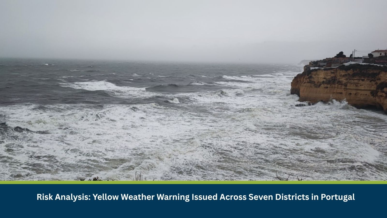
Executive Summary for Severe Weather in Portugal
The Portuguese Institute for Sea and Atmosphere (IPMA) has issued a yellow weather warning for seven districts of mainland Portugal on Monday, 28 September 2026. The warning is in effect from 1200 to 2100 hoursand covers the possibility of thunderstorms, locally heavy rainfall, hail and strong wind gusts. The warning covers Beja, Bragança, Castelo Branco, Évora, Faro, Guarda and Portalegre. Thunderstorms and locally intense showers are expected to be more likely during the afternoon.
- Date of Event: 28 September 2026
- Location: Beja, Bragança, Castelo Branco, Évora, Faro, Guarda and Portalegre, Portugal
- Risk Category: Environment
- Severity Score: 3/5
- Confidence Level: 80%
What is Risk Analysis in the Context of Environment Events
Environment event risk analysis assesses the impact of severe weather on businesses and operations. Thunderstorms accompanied by intense rainfall, hail and strong wind gusts can temporarily affect road mobility, outdoor operations and local infrastructure. The principal concern on 28 September is the potential for short duration but locally intense weather across the warned districts.
Known Hotspots and Sensitive Areas
High Impact
- Faro District: Southern Portugal and the Algarve are included in the yellow warning.
- Beja and Évora: Interior southern districts covered by the warning.
- Castelo Branco and Portalegre: Central and eastern areas covered by the warning.
- Guarda and Bragança: Northern and northeastern districts included in the alert.
Medium Impact
- Areas within the seven districts that experience locally intense showers or thunderstorms during the warning period.
- Road routes exposed to sudden heavy rainfall, hail and strong wind gusts.
Low Impact
- Other parts of mainland Portugal outside the seven warned districts are not covered by this specific yellow warning, although broader unsettled weather is expected to develop during the following days.
Impact on Transportation and Services
The IPMA warning identifies the potential for 10–20 mm of rainfall in one hour, hail below two cm in diameter and wind gusts of 70–90 km/h. Such conditions could temporarily reduce road visibility and affect outdoor and road-based operations.
Recommended Actions
- Monitor IPMA warnings before travelling through affected districts.
- Exercise caution when driving during periods of heavy rain or thunderstorms.
- Secure temporary outdoor equipment and structures against strong wind gusts.
- Businesses should account for potential short-term delays to road-based activities.
- Monitor conditions beyond 28 September as further rainfall is forecast.
Emergency Contacts
- Emergency Services: 112
Final Thoughts
A yellow weather warning is in effect across seven districts of Portugal from 1200 to 2100 hours on 28 September, with thunderstorms, locally heavy rainfall, hail and wind gusts of up to 70–90 km/h possible. The main operational exposure is to road travel and outdoor activities during the afternoon and evening. Leveraging MitKat’s Datasurfr enables businesses to receive real-time intelligence, monitor evolving threats and make informed decisions to protect people, assets and operations.