





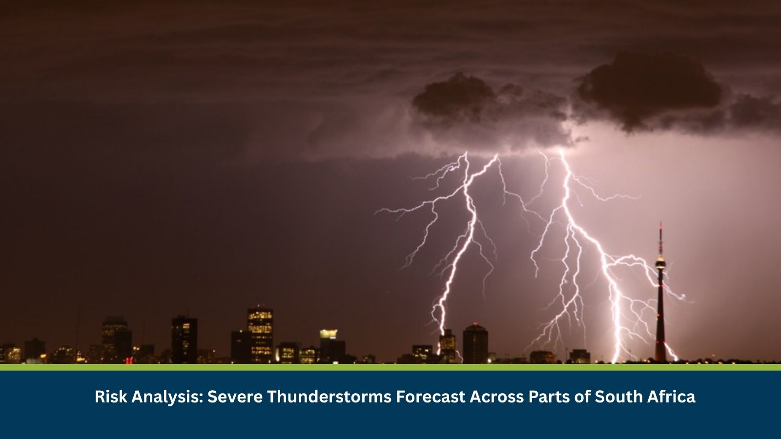
Executive Summary for Severe Thunderstorms in South Africa
The South African Weather Service (SAWS) has forecast wet conditions and thunderstorms across several parts of South Africa on Wednesday, 23 September 2026. Thunderstorms are expected across parts of the Northern Cape, Western Cape, Free State and KwaZulu-Natal. An Orange Level 5 impact-based warning has been issued for severe thunderstorms in the Hantam and Karoo Hoogland Districts of the Northern Cape and the Central Karoo District of the Western Cape. The warning indicates potential danger to life, large amounts of small hail and damage or loss of infrastructure, settlements and vehicles.
- Date of Event: 23 September 2026
- Location: Parts of Northern Cape, Western Cape, Free State and KwaZulu-Natal, South Africa
- Risk Category: Environment
- Severity Score: 3/5
- Confidence Level: 75%
What is Risk Analysis in the Context of Environment Events
Environmental event risk analysis assesses the impact of extreme weather incidents on operations and infrastructure. Severe thunderstorms can affect road mobility, outdoor operations, infrastructure and local services through lightning, hail, heavy rainfall and associated visibility reductions. The principal concern on 23 September is concentrated in areas covered by the impact-based warnings.
Known Hotspots and Sensitive Areas
High Impact
- Hantam District, Northern Cape – Orange Level 5 warning for severe thunderstorms.
- Karoo Hoogland District, Northern Cape – Orange Level 5 warning.
- Central Karoo District, Western Cape – Orange Level 5 warning.
- These areas could experience large amounts of small hail, infrastructure damage, vehicle damage and dangerous conditions.
Medium Impact
- Southern Northern Cape
- Western Cape, including large parts of the province
- Southwestern and western KwaZulu-Natal
- Southern Free State, where Yellow Level 2 warnings apply.
Low Impact
Other parts of the country may experience isolated showers or thundershowers, but the reported severe-weather warnings are concentrated in the areas above.
Impact on Transportation and Services
Severe thunderstorms could disrupt road travel through heavy rain, lightning, hail and reduced visibility. The Orange Level 5 warning specifically highlights potential damage to vehicles and infrastructure, while Yellow Level 2 areas could experience localized vehicle and infrastructure damage. The forecast also calls for isolated to scattered showers and thundershowers across several provinces, including Gauteng, Mpumalanga, Limpopo, North West, Free State, Northern Cape, Western Cape and KwaZulu-Natal.
Recommended Actions
- Monitor SAWS weather warnings before travelling through affected provinces.
- Exercise caution when driving during thunderstorms, particularly in Orange and Yellow warning areas.
- Businesses should assess outdoor work and transport schedules in areas under severe-weather warnings.
- Protect vehicles and sensitive equipment from potential hail where feasible.
Emergency Contacts
- Emergency Services: 112
- South African Police Service: 10111
- Ambulance/Fire: 10177
Final Thoughts
Severe thunderstorms are expected across parts of South Africa on 23 September, with the most significant warning focused on districts in the Northern and Western Cape. Potential impacts include hail, lightning, vehicle damage and infrastructure disruption, requiring increased caution for road travel and outdoor operations. Leveraging MitKat’s Datasurfr enables businesses to receive real-time intelligence, monitor evolving threats and make informed decisions to protect people, assets and operations.