


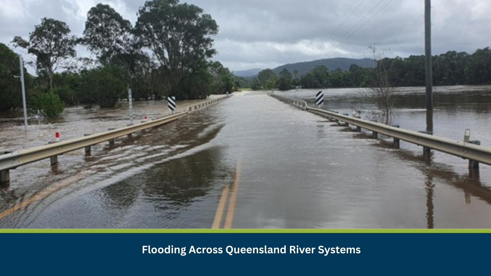
Executive Summary for the Flooding in Queensland
Flooding associated with the Warrego River catchment and adjacent river systems across central and south-west Queensland is expected to persist for the next 24–72 hours. According to the Bureau of Meteorology flood warning, elevated river levels and localized overland flooding are anticipated in low-lying towns including Augathella, Charleville, and Cunnamulla. Historically, peak river levels in these areas occur one to three days after heavy upstream rainfall. While statewide catastrophic impacts are unlikely, moderate disruption is expected in transport routes, freight movement, and access to regional services. Residual impacts such as road inspections and restoration of community access may continue for up to one to two weeks.
- Event Date: 10 March
- Location: Queensland, Australia
- Risk Category: Natural Disasters
- Severity Level: 3 / 5
- Confidence Score: 70 %
What is Risk Analysis in the Context of Natural Disaster Events
Risk analysis in the context of natural disasters evaluates potential impacts caused by environmental hazards such as floods, cyclones, earthquakes, or wildfires. Flooding is one of the most common natural hazards affecting Australia, particularly in river catchments that experience seasonal rainfall surges. In Queensland, river systems such as the Warrego River are known to experience periodic flooding following heavy upstream rainfall. These flood events typically produce rising river levels, overland water flow across floodplains, and temporary isolation of low-lying communities. Risk analysis helps authorities, businesses, and emergency services anticipate disruptions, protect communities, and ensure business continuity by identifying areas vulnerable to infrastructure damage, supply chain delays, and public safety risks.
Known Hotspots and Sensitive Areas
High Impact:
- Augathella, Charleville, and Cunnamulla along the Warrego River floodplain
- Low-lying agricultural lands and river crossings
Medium Impact:
- Surrounding regional transport corridors linked to the Warrego River basin
- Communities dependent on local road networks and regional supply routes
Low Impact:
- Areas located outside the immediate floodplain with elevated terrain
Flooding in the Warrego River catchment is a recurring seasonal risk. These communities historically experience short periods of isolation when river levels rise after upstream rainfall events.
Impact on Transportation and Services
Transport disruption is expected to be the most significant operational impact. Floodplain roads and sections of regional highways may close temporarily as water levels rise. Freight movement through affected corridors may face delays, forcing logistics providers to divert routes and extend delivery times. School transport and regional bus services may also be suspended until road safety assessments are completed. In some cases, small community airstrips may remain operational, but ground access could be restricted due to flooded roads. Flooding may also affect access to utilities and services in remote areas. Local electricity distribution infrastructure, water treatment access routes, and fuel delivery points may experience temporary disruption until floodwaters recede and inspections are completed.
Recommended Actions
Immediate Actions:
- Activate regional flood response monitoring and track river gauge data.
- Restrict non-essential travel on flood-affected roads and highways.
- Prepare emergency supplies for communities likely to face temporary isolation.
- Suspend field operations and outdoor work in high-risk flood zones.
Strategic Measures:
- Implement flood preparedness plans and business continuity procedures.
- Establish alternative freight routes for supply chain operations.
- Coordinate with meteorological authorities and emergency services for updated flood warnings.
Multidimensional Impact
No additional unrelated events have been identified that could compound the current flooding situation. However, prolonged road closures could increase pressure on emergency logistics and resupply efforts for isolated communities if rainfall persists.
Emergency Contacts
- Emergency Services: 000
- State Emergency Service (SES): ses.qld.gov.au/home
- Bureau of Meteorology: bom.gov.au/
Final Thoughts
Flooding across the Warrego River catchment represents a moderate natural disaster risk with localized but meaningful impacts on transportation, logistics, and community access. The most likely scenario involves minor to moderate flooding lasting several days with recovery operations extending into the following weeks. Businesses and authorities should maintain heightened monitoring of river conditions and implement contingency plans for supply chain disruption and workforce safety.
Stay ahead of operational risks with real-time alerts, scenario modelling, and expert advisories with datasurfr’s Predict. Start your 14-day free trial of Datasurfr’s Risk Intelligence Platform today.