


Executive Summary for the Critical Fire Weather Across Texas
Critical fire-weather conditions are expected across parts of Texas due to strong south-westerly winds, low relative humidity and dry fuels. The highest risk window is Monday afternoon into night, when ignition and rapid spread potential peaks. Impacts may include wildfires threatening rural assets, road closures, power outages and localized business disruption.
- Date of Event: 09 February
- Location: Texas, United States
- Risk Category: Environment
- Severity Score: 4 / 5
- Confidence Level: 78 %
What is Risk Analysis in the Context of Environment Events
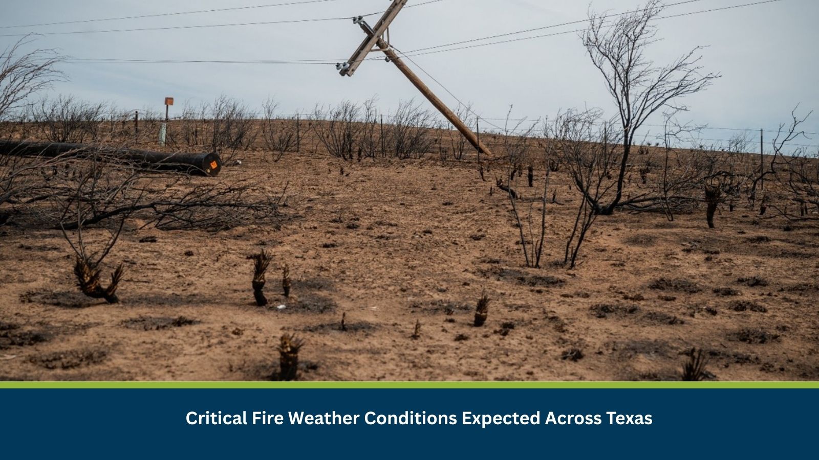
Environmental risk analysis assesses threats arising from natural and climate-driven hazards that can disrupt human safety, infrastructure and economic activity. In Texas, fire-weather risk is a recurrent environmental threat, particularly during dry, high-wind periods. Historically, similar meteorological setups have preceded fast-moving grass and brush fires, underscoring the relevance of proactive risk assessment to reduce wildfire impacts and cascading disruptions.
Current Updates
Weather advisories indicate elevated to critical fire danger across multiple Texas counties. Fire agencies are on heightened alert, and public messaging discourages outdoor burning and spark-generating activities. No major wildfire linked directly to this advisory has been confirmed yet, but resource pre-positioning and mutual-aid readiness are underway across high-risk areas.
Known Hotspots and Sensitive Areas
High Impact:
- West Central Texas rangelands near San Angelo and Brady
- Texas Hill Country and Edwards Plateau interfaces
- Bastrop-area wildland–urban interface zones
Medium Impact:
- Central Texas counties along the I-35 corridor
- Rural agricultural zones with cured grasses
Low Impact:
- Urban cores with limited wildland fuel continuity
These areas have repeatedly experienced rapid fire spread during similar high-wind, low-humidity events.
Impact on Transportation and Services
Wildfires and smoke may trigger temporary closures on state highways and interstates, including segments of I-35, I-10 and US-87. Freight and commuter travel could be delayed, while regional airports may face visibility-related disruptions. Business operations may be constrained by staff evacuations, outdoor work stoppages and intermittent power or communications outages in affected counties.
Recommended Actions
Immediate Measures:
- Suspend non-essential outdoor activities in warned areas.
- Secure combustible materials and maintain defensible space around facilities.
- Activate emergency operations protocols and staff accountability procedures.
Strategic Measures:
- Coordinate with local fire departments and emergency management offices.
- Ensure backup power, data resilience and alternate routing plans are operational.
- Use fire-weather intelligence and situational awareness platforms to guide decisions.
Multidimensional Impact
Wildfire conditions may strain emergency services and utilities, amplify air-quality concerns downwind, and temporarily disrupt agriculture, energy operations and regional supply chains.
Emergency Contacts
- Emergency Number: 911
- National Weather Service: weather.gov/
Final Thoughts
Fire-weather risk across Texas on 09 February is elevated, with a credible threat of rapid wildfire escalation under adverse conditions. Organizations and authorities should monitor real-time advisories, prioritize life safety and protect critical assets.
Stay ahead of operational risks with real-time alerts, scenario modeling, and expert advisories with datasurfr’s Predict. Start your 14-day free trial of Datasurfr’s Risk Intelligence Platform today.