


Executive Summary for the Flooding Risk Across the United Kingdom
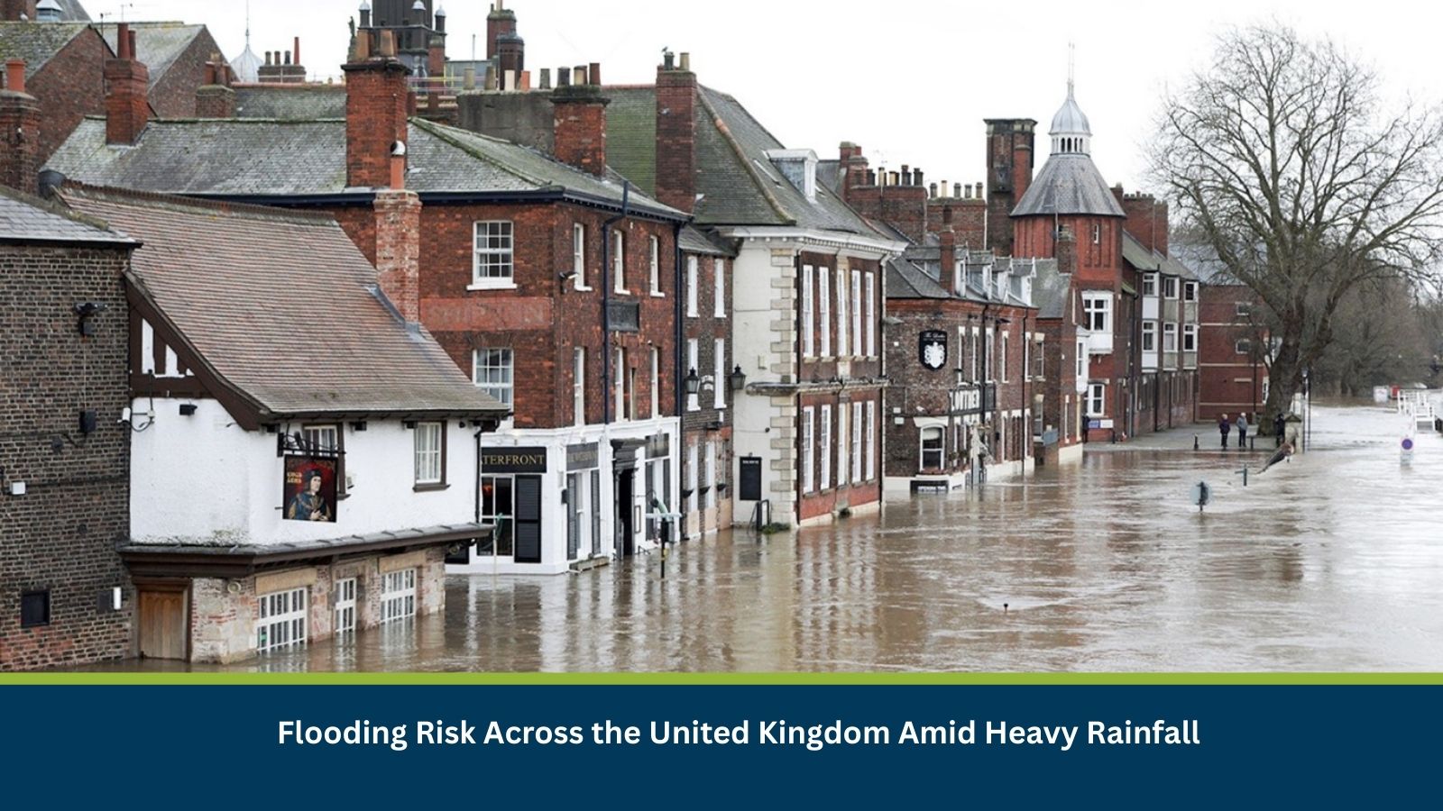
The United Kingdom faces an elevated but localized flooding risk as heavy rainfall systems move across the country over the next 24–72 hours. Impacts are expected to be most pronounced in south-west England, parts of southern Wales and western counties, where antecedent rainfall has saturated catchments. Likely consequences include surface-water flooding, minor river overtopping, transport disruption and short-term operational impacts for businesses. While widespread major infrastructure failure is unlikely, localized disruption is probable.
- Date of Event: 05 February
- Location: London, Somerset, Kent, Sussex, Surrey, Hampshire, Nottingham, Bristol, England, Wales, Scotland, United Kingdom
- Risk Category: Environment
- Severity Score: 3 / 5
- Confidence Level: 70 %
What is Risk Analysis in the Context of Environment Events
Environmental risk analysis examines how weather-related hazards such as flooding, storms and extreme rainfall affect public safety, infrastructure resilience and business continuity. In the United Kingdom, prolonged or repeated rainfall following saturated ground conditions has historically resulted in surface-water flooding, small river overtopping and disruption to transport and utilities. The current situation aligns with these known risk patterns, particularly during winter frontal systems affecting western and southern regions.
Current Updates
As of Thursday, 05 February, the Met Office and the Environment Agency have issued multiple yellow rainfall and flood warnings across the United Kingdom, with heightened concern in Cornwall, Devon and adjacent western areas. Reports indicate rising river levels in smaller catchments and localized surface-water flooding in low-lying coastal towns and transport corridors. Local councils have activated incident response measures, while travel operators have implemented speed restrictions and advised non-essential travel in higher-risk zones.
Known Hotspots and Sensitive Areas
High Impact:
- Cornwall and Devon, including Bodmin, Liskeard and coastal towns
- Southern Wales low-lying catchments
Medium Impact:
- Somerset Levels and M5 approaches near Taunton and Exeter
- Western counties of England with constrained drainage systems
Low Impact:
- Urban centres with robust flood defences and drainage infrastructure
These areas experience recurrent flooding during prolonged rainfall events, particularly when river basins are already saturated.
Impact on Transportation and Services
Road transport is most exposed, with historical closures and restrictions on the A30, A38 and sections of the M5 during similar rainfall events. Rail services along West Country and coastal routes may face speed restrictions or temporary suspensions due to waterlogged tracks. Bus networks are implementing diversions in affected counties, while regional airports such as Newquay may experience delays linked to access flooding. Localized power outages, wastewater overflow incidents and limited telecom disruptions remain possible in flood-prone communities.
Recommended Actions
Immediate Actions:
- Activate flood response and crisis management protocols.
- Advise remote or flexible working arrangements where feasible.
- Secure ground-floor assets and deploy pumps or sandbags in vulnerable locations.
Strategic Measures:
- Maintain close coordination with local councils, the Environment Agency and emergency services.
- Review business continuity and flood resilience plans.
- Monitor real-time alerts and river-level dashboards for early escalation indicators.
Multidimensional Impact
No concurrent non-related events are identified; however, repeated rainfall could compound flood risk and prolong recovery in affected catchments.
Emergency Contacts
- Met Office: metoffice.gov.uk/
- Emergency Services: 112
Final Thoughts
The flooding risk is expected to remain localized but disruptive, with the highest impacts concentrated over the next 72 hours. Businesses and authorities should prioritize preparedness, workforce safety and transport resilience. Continuous monitoring and early-warning capabilities, including preparedness tools such as MitKat’s Datasurfr, are essential to mitigate operational and safety risks during evolving environmental events.
Stay ahead of operational risks with real-time alerts, scenario modeling, and expert advisories with datasurfr’s Predict. Start your 14-day free trial of Datasurfr’s Risk Intelligence Platform today.