


What is Risk Analysis in the Context of Environment Events
Environmental risk analysis evaluates how severe weather (snow, ice, low temperatures) affects safety, mobility, infrastructure, and operations. In the UK, early-season cold spells routinely disrupt roads, rail, and utilities particularly in Scotland, the Pennines, and rural England/Wales making timely preparedness essential.
Executive Summary
- Date of Incident: 21 October 2025
- Location: England, Scotland, Wales, United Kingdom
- Risk Category: Environment
- Severity Score: 4/5
- Confidence Level: 85%
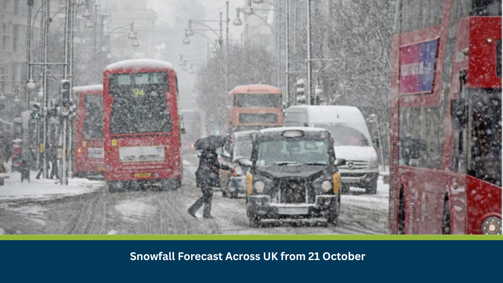
Heavy snow is forecast to develop from 21–25 October, with lingering ice thereafter. Historical patterns (including high-end accumulations in Scotland and widespread lower-level snow bursts) indicate high likelihood of travel disruption, localized power outages, and business interruptions. Northern regions and higher ground face greatest risk.
Current Updates
Forecast guidance indicates a cold front bringing markedly lower temperatures and snow, especially for northern England and Scotland. Elevated routes are most exposed; lower elevations may see slushy accumulations and night-time refreezing.
Known Hotspots and Sensitive Areas
- High impact: Scottish Highlands/A9–A82 corridors; Pennines (M62, A66); upland Wales.
- Medium impact: Urban belts of Glasgow/Edinburgh, Manchester/Leeds, Birmingham peripheries.
- Low impact: Southern lowlands, except where night frosts create black ice. Recurrence risk persists while sub-zero nights continue.
Impact on Transportation and Services
Expect road closures on exposed motorways and trunk roads, speed restrictions on rail, and periodic airport de-icing delays. Bus services may be curtailed locally. Business operations could see absenteeism, delayed deliveries, and ICT interruptions where power dips affect local networks
Recommended Actions
- People & mobility: Activate remote work; stagger shifts; issue route/parking grit guidance and slip-risk controls.
- Sites & assets: Winterise facilities—test heating, insulate pipes, check roofs/gutters, stock grit/de-icer, and prove generators/UPS.
- Supply chain: Re-time shipments, preload inventories, and identify alternate carriers/routes for affected corridors.
- Command & comms: Stand up an incident cell to track Met Office warnings and push real-time staff/client updates.
- Continuity & IT: Verify remote access capacity, data backups, and power protection for critical systems.
Emergency Contacts
- Police/Fire/Ambulance: 999
Final Thoughts
The trajectory indicates three to five days of disruptive snow and ice, followed by residual hazards from refreezing. Key watchpoints include wind drift on exposed routes, repeated night frosts, and strain on rural power networks. Early activation of winter protocols, agile rostering, and supply chain buffering will help minimize downtime. Organizations should closely monitor Met Office warnings, utilize travel disruption dashboards, and maintain clear, proactive communication with clients to ensure continuity and safety throughout the weather event.
Stay ahead of operational risks with real-time alerts, scenario modeling, and expert advisories with datasurfr’s Predict. Start your 14-day free trial of Datasurfr’s Risk Intelligence Platform today.